Thru-Hikes
All Thru-hikes in Europe and the USA.
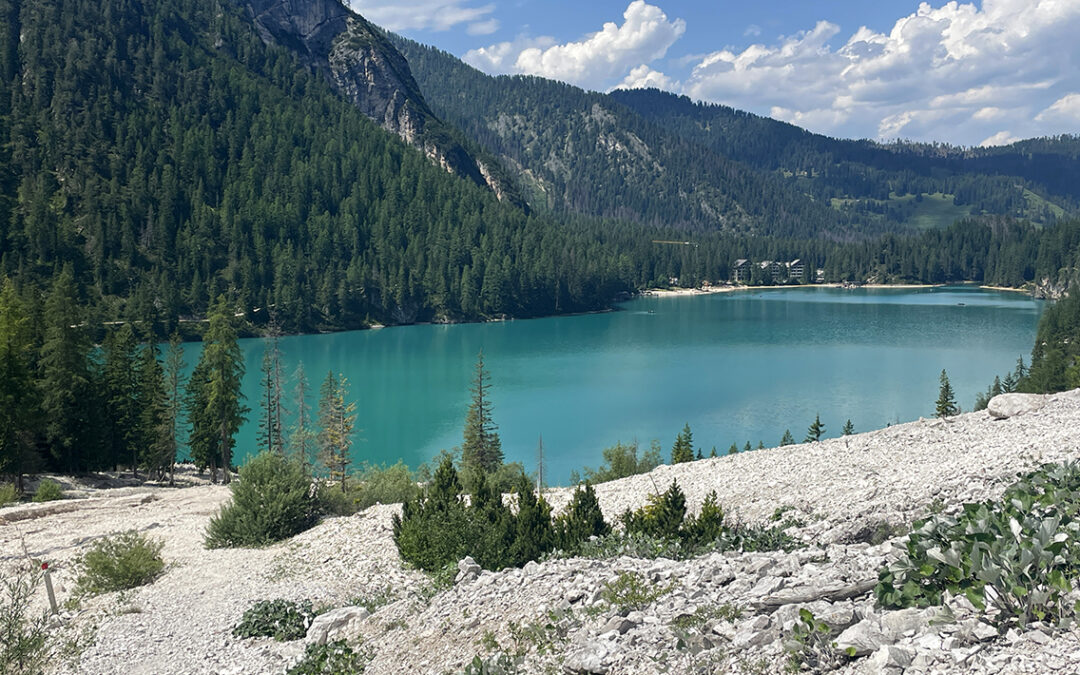
Lago di Braies Day Hikes
Lago di Braies (also known as Pragser Wildsee in German) is the famous starting point for the Alta Via 1 thru hike across the Italian Dolomites. But there are also various shorter trails starting at the azure blue lake. Here are three day hikes that I hiked at Lago di Braies.
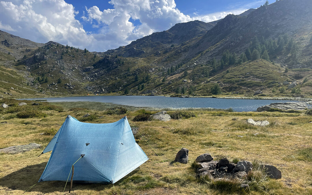
GR5 stage 4: Modane to Briançon
Stage 4 of the GR5 was the last stage of this thru-hike that I would walk this year. It marked the transition to the Mediterranean Alps, where the weather was hotter and drier. The landscape turned more and more empty until I reached the city of Briançon where my journey ended.
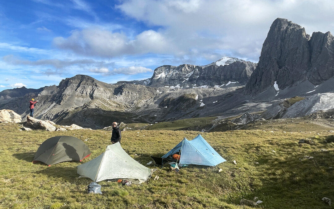
GR5 Stage 3: Landry to Modane
Stage 3 of the GR5: the Vanoise. A part of the Grande Traversée des Alpes/GR5 where all the different routes can make your head dizzy – if you’re not already dizzy from the high mountains all around you. This stage takes hikers from freezing cold mountain passes to the sweltering city of Modane close to the border with Italy.
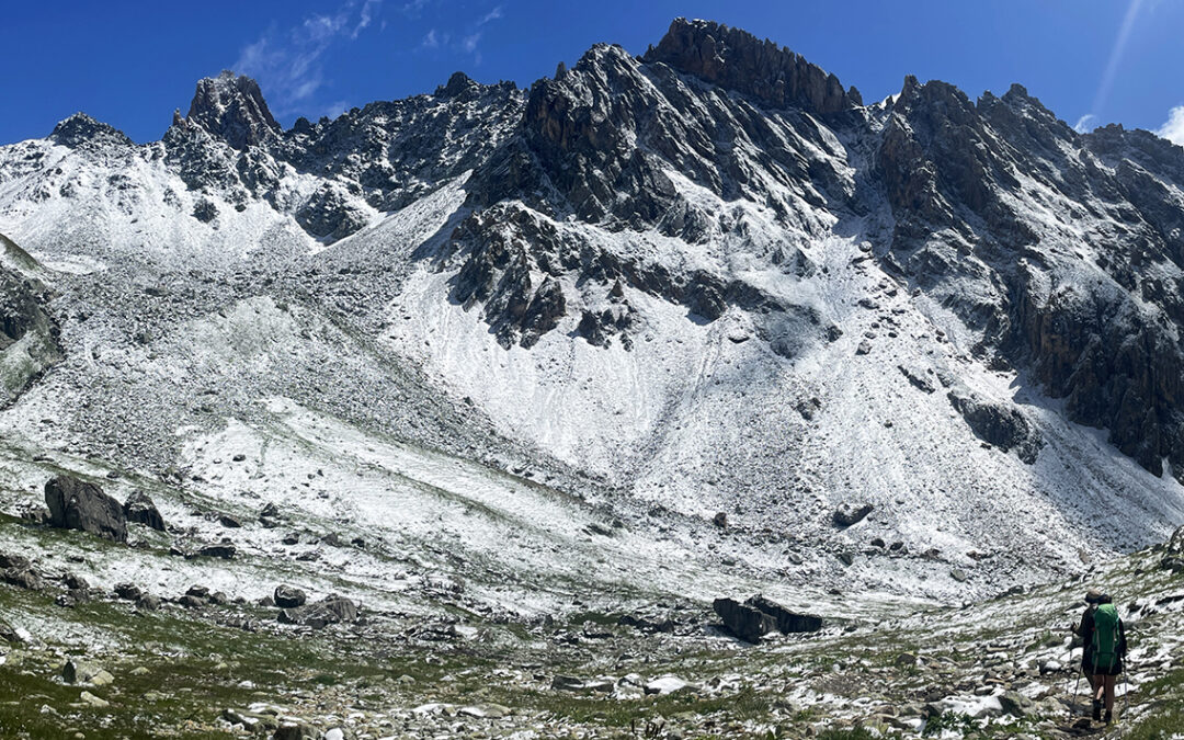
GR 5 stage 2: Les Houches to Landry
The second stage of the GR5 shares about 40 km trail with the Tour du Mont Blanc. I skipped a crowded part on an alternative, higher trail above Les Contamines. After two days I left the TMB, turning South into the breathtaking Beaufortin. There I crossed the Col du Bresson, another highlight of the GR5.
GR 5 stage 1: Lac Léman to Les Houches
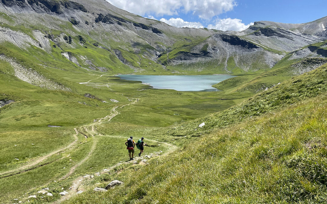
The first 5 days of the GR5 involved a long and steep initial ascent into the Alps and unexpected and extraordinary scenery. I also met a number of other solo hikers. Within a few days a we formed a more or less loose group, hiking and camping together most of the time. Getting to know these wonderful people has enriched my experience on the GR5 tremendously.
Planning the GR5 – Grande Traverse des Alpes
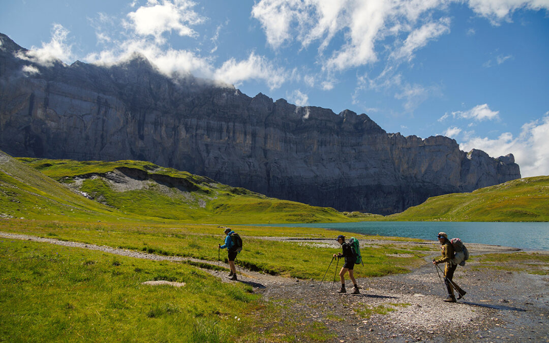
In the summer of 2023 I hiked 14 days on the GR5 (Grande Randonnée 5). While the complete GR5 starts in my home country (the Netherlands), I hiked the part that crosses the French Alps from Lake Geneva to the Mediterranean Sea. As two weeks are not enough to hike the complete route to the sea, I hiked halfway to the city of Briançon.
A Guide to the Papago Wall and Slide
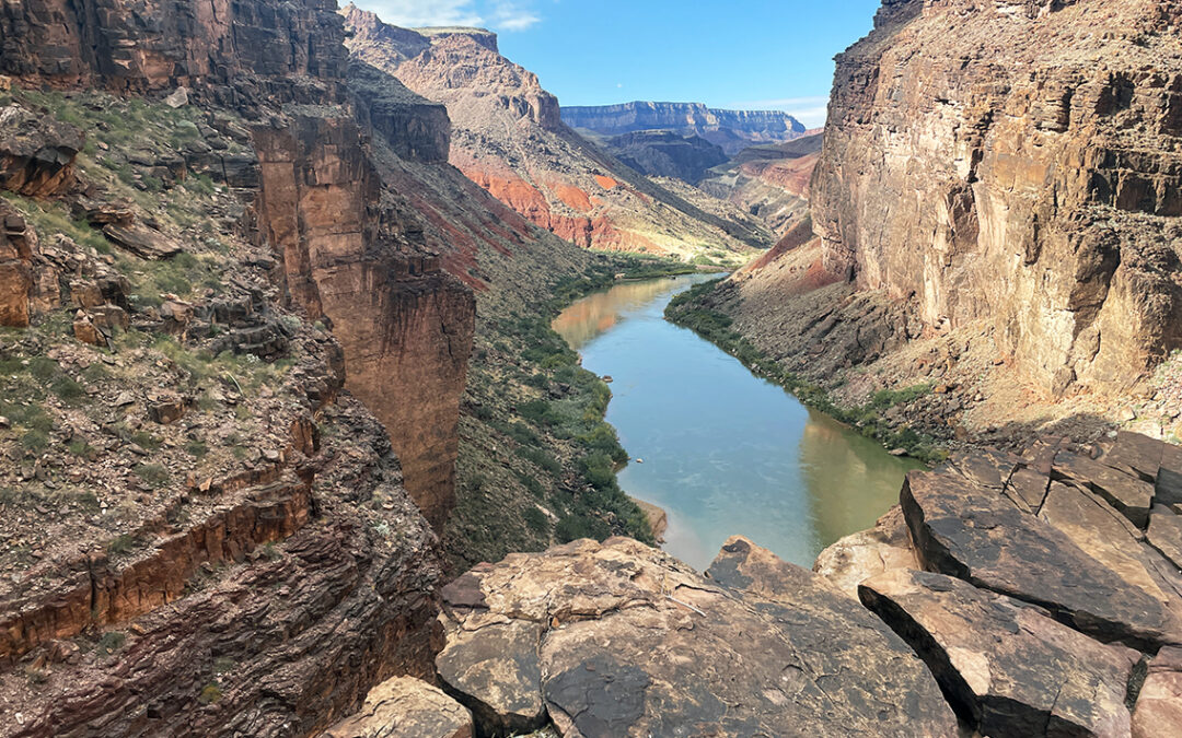
The Papago Wall and Slide is, according to many, the most demanding section of the Escalante Route, Grand Canyon. Preparing my hike I consulted many trail reports and video’s online, but most of the descriptions I found were at least partly mistaken. This is my attempt at a guide to the Papago Wall and Slide.
Escalante Route, Grand Canyon, Day 5
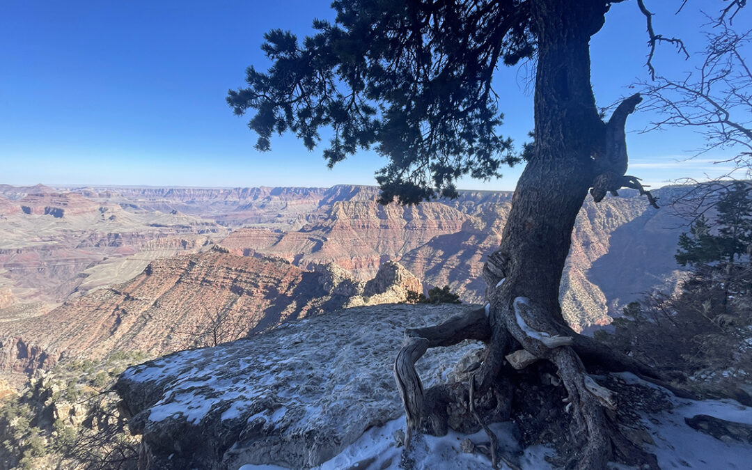
The fifth and final day in the Grand Canyon was a continuous climb to the South Rim. A strenuous path past copper and uranium mines on rugged debris, steep rock stairs and icy snow.
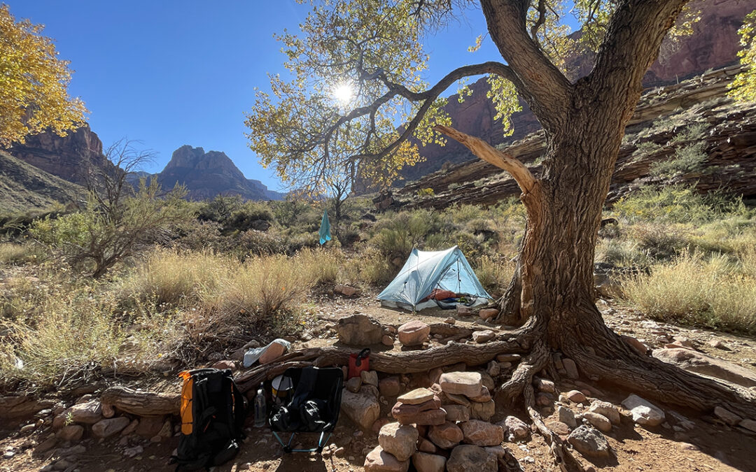
Escalante Route, Grand Canyon, Day 4
At day 4 of the Escalante Route I said goodbye to the Colorado River as I ascended to the Tonto Platform and beyond to the Hance Creek oasis.
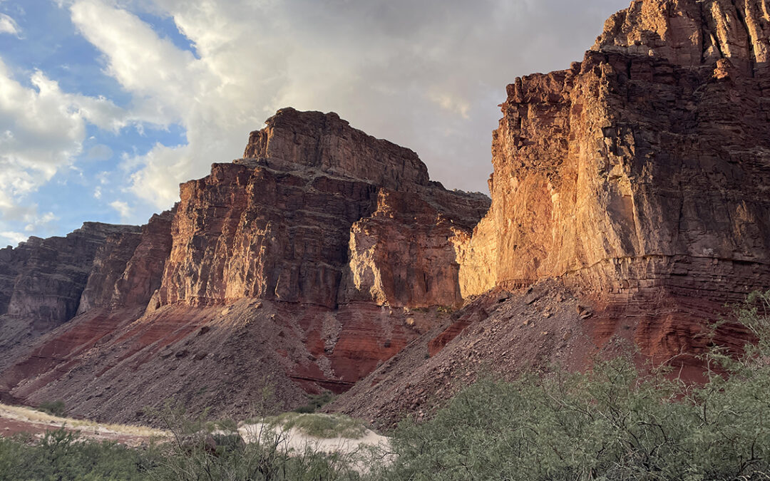
Escalante Route, Grand Canyon, Day 3
Day 3 of the Escalante Route was the shortest of all, but it featured two of the most spectacular sections of the route: the 75 Mile slot canyon and the Papago Wall and Slide.
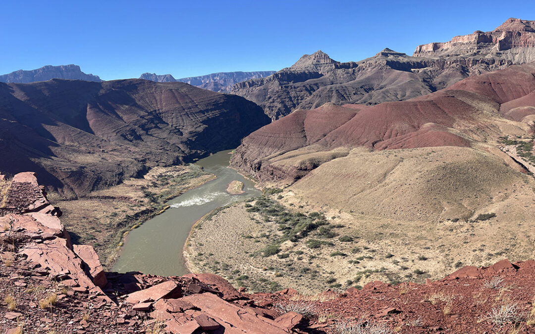
Escalante Route, Grand Canyon, Day 2
Departing from Tanner Beach, the first part of the Escalante Route is pleasantly easy. The second half, starting with the Dox Traverse, is more strenuous but offers the most impressive views of the Grand Canyon.
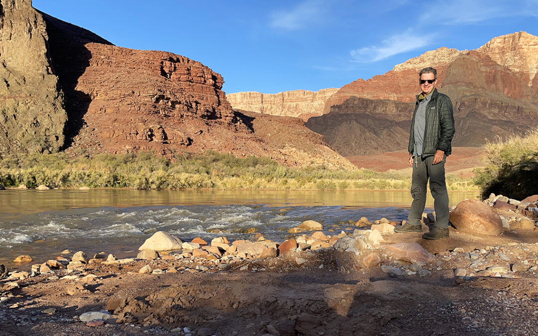
Escalante Route, Grand Canyon – Day 1
Hiking down the Grand Canyon on the Tanner Trail is time traveling through a billion years of rock sediments, while passing many different climate zones. Starting with snow at the South Rim, I ended at a desert oasis with my feet in the Colorado River.
Escalante Route Gear List
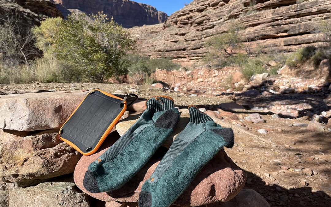
For the Escalante Route in the Grand Canyon I carried a lot more weight on my back than on other hikes. Some of the extra load consisted of luxury items, but most of it was absolutely necessary for canyon hiking. The cold night temperatures and harsh wilderness terrain necessitated special gear.
Planning the Escalante Route, Grand Canyon
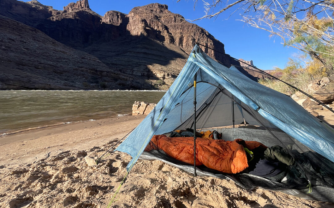
The Escalante Route is celebrated as both the toughest and most beautiful trail in the Grand Canyon. I hiked this route in November 2022 and I was amazed by the spectaculair views of the Canyon and Colorado river I didn’t even know existed. Do you want to hike the Escalante Route? Read on for everything you need to know about this adventure.
Alta Via 1 part 3: Città di Fiume – Belluno
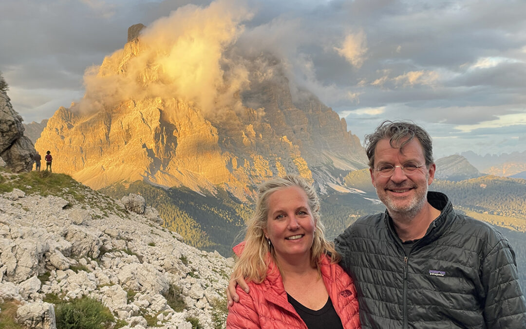
During our final section of the Alta Via 1 we saw the most amazing sunset at Coldai and walked below the impressive ‘Wall of Walls’ of Civetta. After Rifugio Vazzoler we exited the trail to Listolade where a bus drove us to Belluno.
Alta Via 1 part 2: Scotoni – Città di Fiume
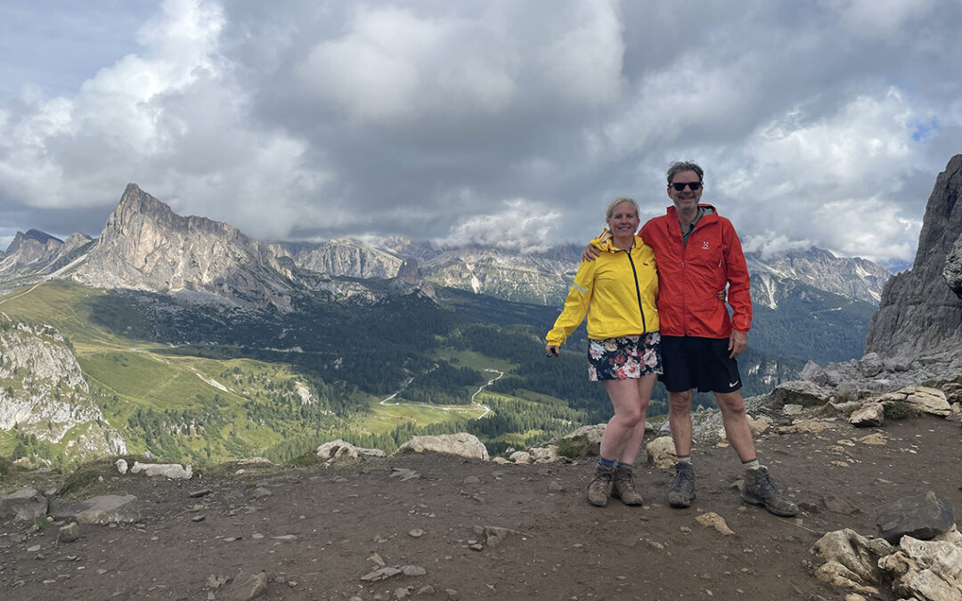
Day 4 and 5 of the Alta Via 1 held high passes and spectacular rocks in store for us. Sometimes steep and challenging, we were always rewarded with dramatic views. Due to impending storms we changed our plans in order to arrive at the rifugio’s before thunder and lightning began.
Alta via 1 part 1: Biella–Scotoni
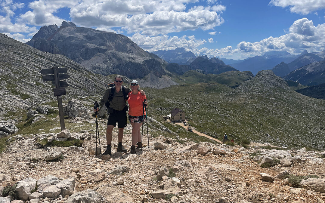
The first three days of the Alta Via 1 started with a steep climb up to Rifugio Biella and continued along various mountain huts offering stunning views of the Dolomites. On the third night we slept at Rifugio Scotoni, just off the official Alta Via trail, avoiding the the defiantly high Lagazuoi hut.
Alta Via 1 Prologue: Lago di Braies
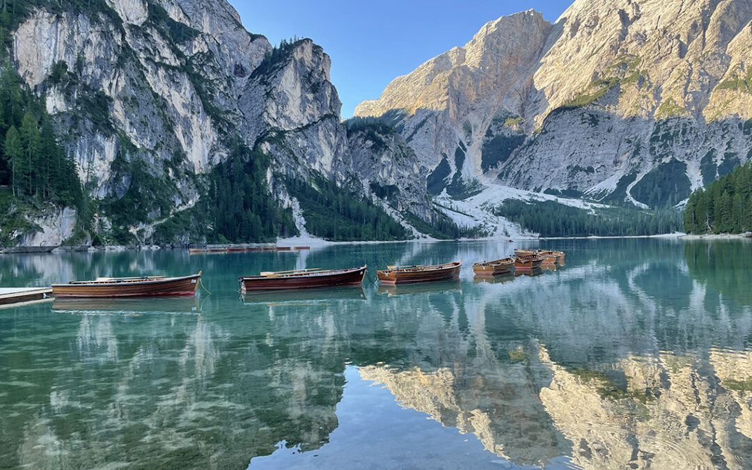
The Alta Via 1 is a 120 km (75 miles) hike through the South Tyrolean Dolomites. The trailhead to this hike happens to sit at one of the most beautiful lakes of Europe: the Lago di Braies. Before Christine and I started the Alta Via 1 we stayed in the magnificent Hotel at the lake. The 3 days at the trailhead became a fantastic holiday in itself.
The Fishermen’s Trail
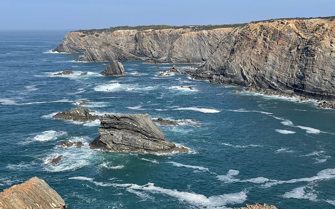
The Fishermen’s Trail is an impressive coastal path in the south of Portugal, especially suitable for winter hiking. I did a beautiful hike from Porto Covo to Odeceixe in four days, where I found steep cliffs, sand in all colors and the deep blue Atlantic Ocean on my side all the time.
Planning the Alta Via 1
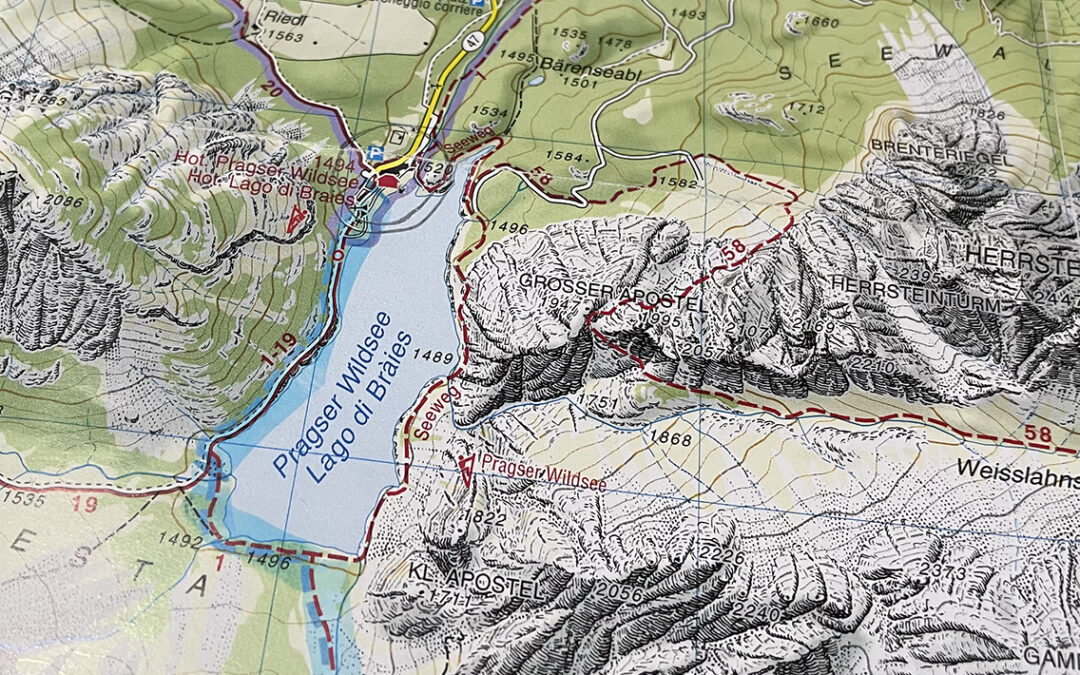
In the summer of 2022 Christine and I will hike the Alta Via 1. The AV1 is one of the classic European thru hikes. Hiking this 120 km (75 miles) trail in twelve days, we will exclusively spend the nights in mountain refuges. After all, camping is not allowed nearly anywhere on this trail. The AV1 is traditionally meant to be experienced as a hut tour anyway.
Kesch-Bergell Trek part 4: Bergell
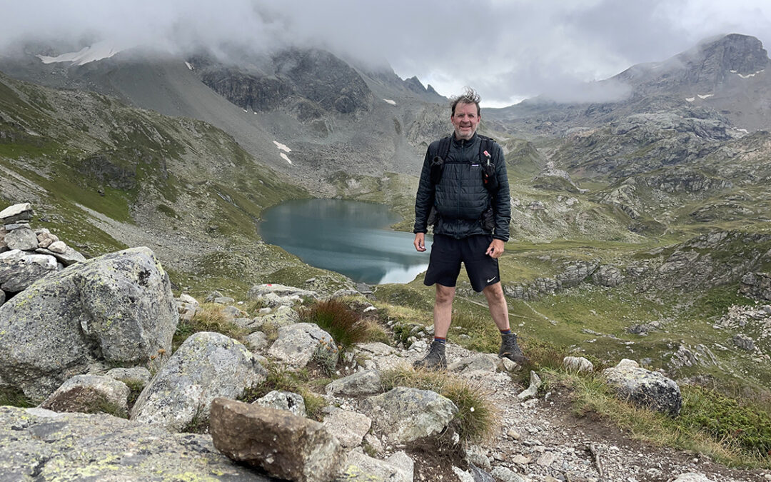
The final part of the Kesch Bergell Trek was mainly a downhill hike, after the initial ascent to the Grevasalvas pass. From the pass I descended to an elevation of almost 2.000 m lower at my final destination in the village of Promontogno.
Kesch-Bergell Trek part 3: Parc Ela
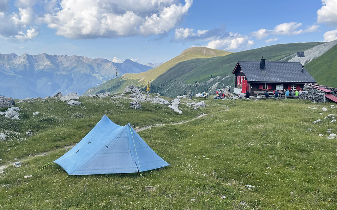
Ending the Kesch Trek in Bergün, now the third stretch of my thru hike started. Hiking up to the Ela Hut, to Alp Flix and finishing at the Julier Pass, I traversed the entire Parc Ela in 3 days, with one of the most spectaculair passes of all: the Fuorcla digl Leget.
Kesch-Bergell Trek part 2: Kesch Trek
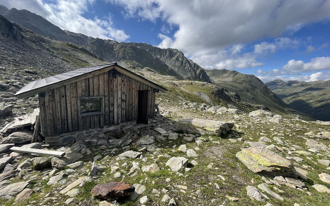
The Kesch-Bergell Trek part 2 consists of the spectacular Kesch Trek. A four day hut-to-hut mountain hike. Because the first hut on the route (the Grialetschhütte) was closed all season, I hiked the trek in 3 days. And I included the ascent of the 3.147 m high Flüela Schwarzhorn at the start.
Kesch-Bergell Trek part 1: Vereina
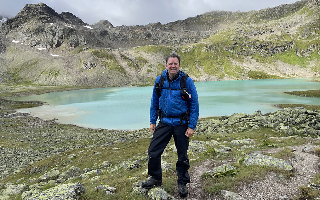
The Kesch-Bergell Trek is not one continuously marked trail, it is not even one trail! This year I built a 12 day route from various longer and shorter trails in the canton Graubunden, Switzerland. The core of my plan was the Kesch Trek, a 4-day hike to and from the famous Kesch Hütte.
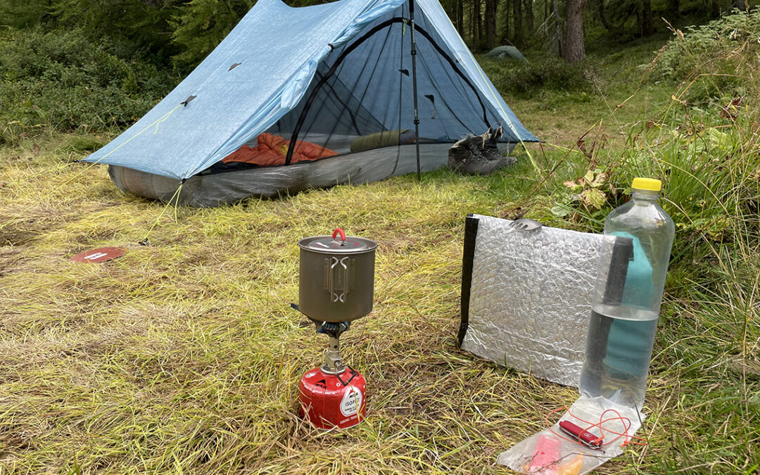
Kesch-Bergell 2021 Gear List
For the Kesch-Bergell Trek in 2021 I swapped some of my gear for lighter variants. But I also carried some heavier items than last year. This resulted in a base weight just below 7 kg (15.4 pounds), not bad for a 12 day hike in the Swiss Alps.
