Waterfalls, narrows, rock climbs, waist-deep cool waters and spectacular canyon views: the Sulphur Creek Trail was one of the highlights of our 2017 trip in Utah.
Sulphur Creek Trail
Location: Capitol Reef National Park, Utah
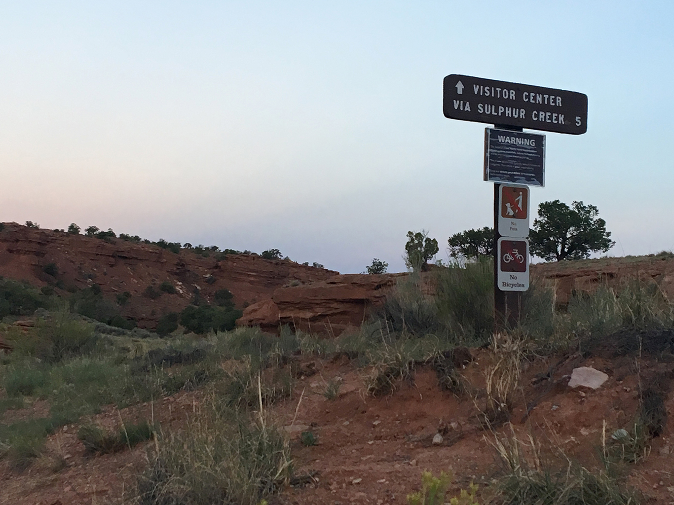
Trailhead: Chimney Rock
End: Capitol Reef Visitors Center
Distance: 5.5 miles (9 km)
Time: 4.5 hrs (including breaks and finding our way past the third waterfall)
Note: flash flood hazard
Capitol Reef National Park
The Sulphur Creek Trail is located in Capitol Reef National Park in Utah. For reasons unknown to me, this park is much less popular than places like Zion or Bryce. I found Capitol Reef much more impressive than a place like Zion, not in the least because it was not crowded at all. The nearby town of Torrey offers lodging, restaurants, gas station and a grocery store. We stayed in a Bed & Breakfast there, although there were still campsites available in the park (in the August high season).
Choosing the trailhead
There are two ways to hike this trail: upstream from the Visitors Center to Chimney Rock, or, starting at Chimney Rock, downstream to the Visitors Center. To avoid hiking back 3 miles of asphalt to your car at either trailhead, it is a good idea to park your car at the end of the trail and hitchhike to the start. In this way you will get to your own car when you’re tired, dirty and very wet from the trail.
So this is what we did: parked our car at the Visitors Center and hitched a ride to the Chimney Rock Trailhead, a 10 minutes drive down highway 24. We were very lucky to arrange our ride the previous day. Our friendly host at the B&B got up very early and solved all our logistic problems. He told us he had lived next to the National Park almost his entire life, but had hiked the Sulphur Creek Trail only once as a young boy scout.
Down to the river
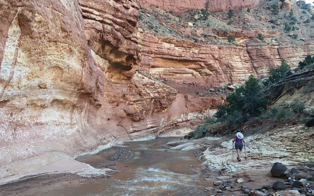
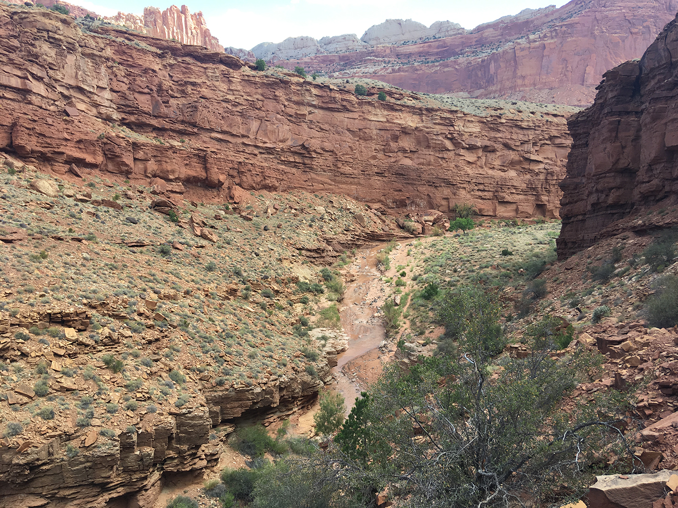
The first mile of the trail is southeast, along a dry river bed that leads to the Sulphur Creek. We descended down the dry wash between impressive brown (Moenkopi formation) rock walls, occasionally scrambling down to lower rocks. .
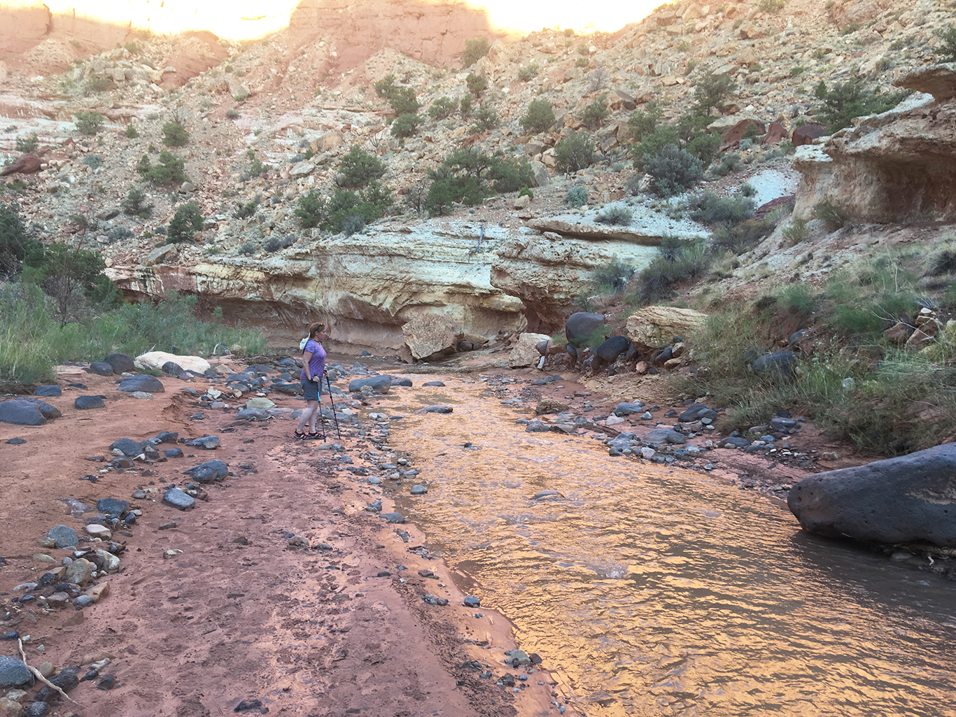
We could walk on the sandy edge of the stream, but soon the only trail was the water itself. We took off our hiking socks from our
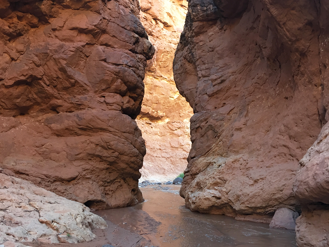
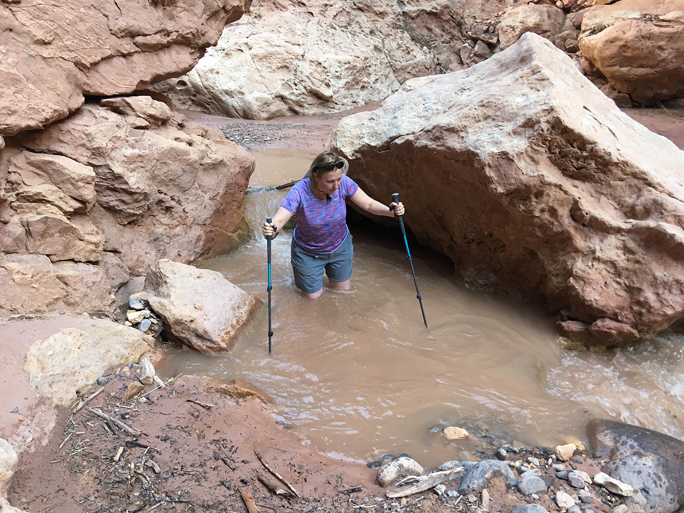
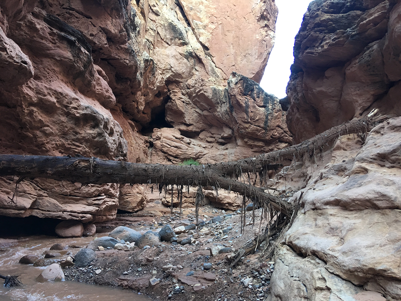
The water on the Sulphur Creek Trail is not only fun. Flash floods are an occasional but very serious hazard here, so everyone will advise you not to hike this trail if there is any chance of rain. We saw dramatic remnants of raging flash floods on our way, showing us that the waters could rise way beyond our heads between the canyon walls.
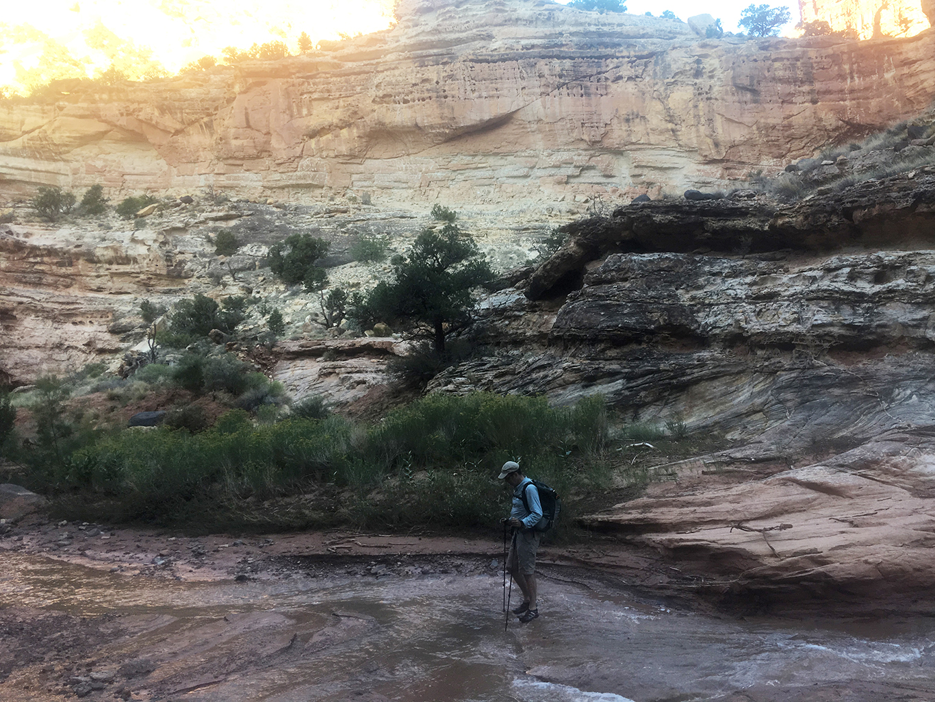
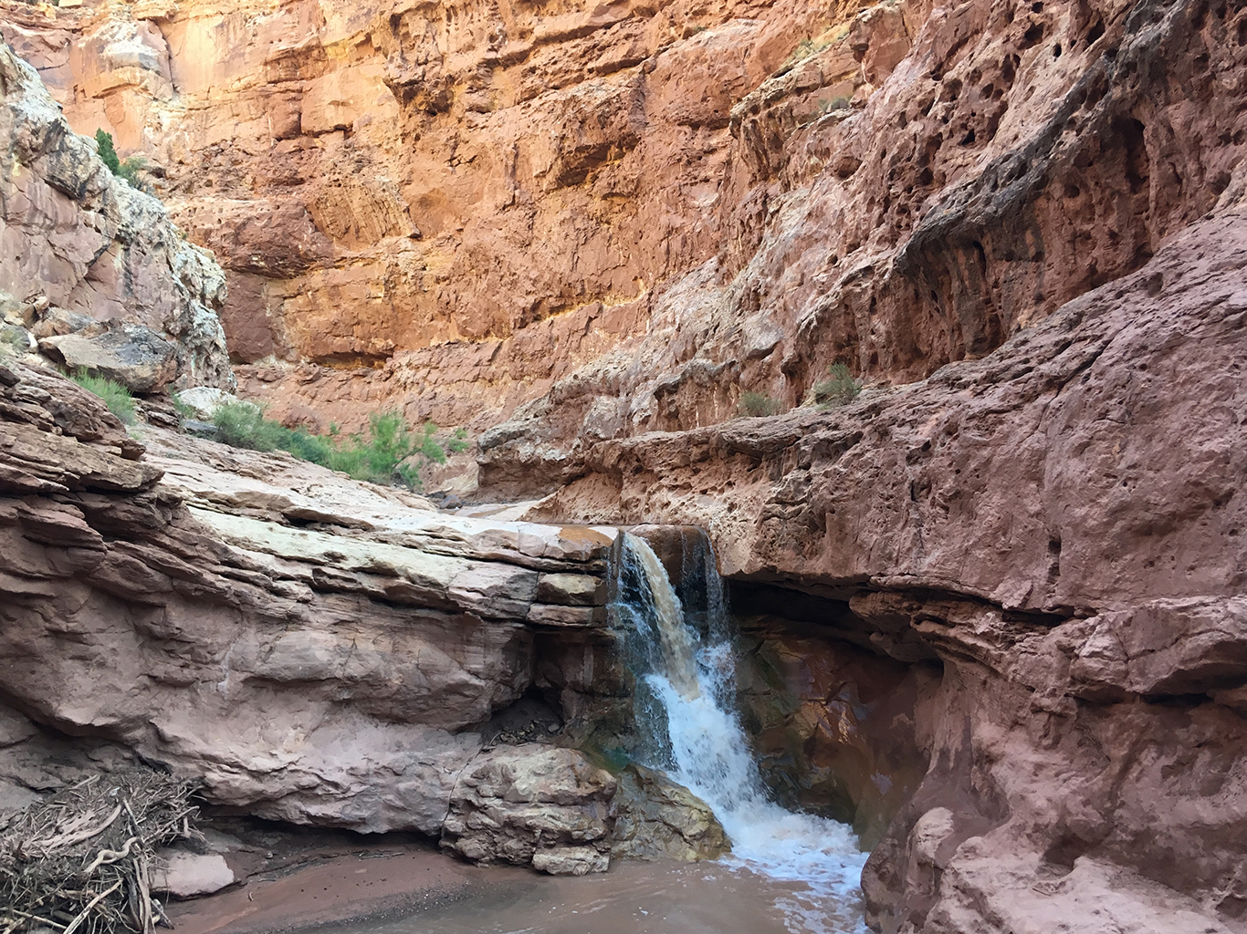
Almost at the end of the trail, the third and last waterfall was too difficult to negotiate. The ledges were way too slippery and we didn’t dare to jump down into water of unknown depth. Luckily we knew there was a detour a few yards back upstream. We climped up a 4 feet (1,5 m) higher ledge, again on the south side of the fall. We found a faint trail following the cairns that were put there by previous hikers.
The good thing about this detour was the sight of the creek from above. A view of the meandering water, brown with sand, leading us to our destination.
After more than 4 and a half hours of hiking, climbing and splashing we saw the Visitor Center building with the American flag waving proudly above it. A beautiful sight at the end of this impressive trail.
The Sulphur Creek trail is the perfect hike: a shady canyon, cool water from the creek, not too easy, but not too difficult as well, some scrambling and climbing, and very, very quiet (we met no other people the entire trail). This was certainly the best hike we did in Utah.