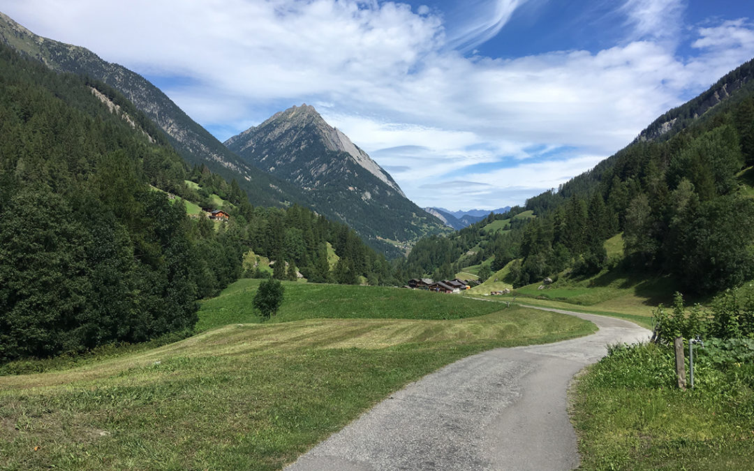
My sixth day on the Tour du Mont Blanc turned out to be the easiest part of the entire thru-hike so far. The Swiss Val Ferret has a very moderate elevation change, sweet green pastures and a nice cold lake at the end in Champex.
Day 6: La Fouly – Arpette
Start: La Fouly, Camping Les Glaciers
End: Relais d’Arpette, campsite at the refuge.
Distance: 19 km (11,8 miles)
Highest point: Relais d’Arpette 1.612 m (5,289 ft)Elevation gain: 705 m (2,313 ft)
Elevation loss: 682 m (2,238 ft)
Time: 4:45 hrs moving time; 6:30 hrs total time
Date: August 17, 2019
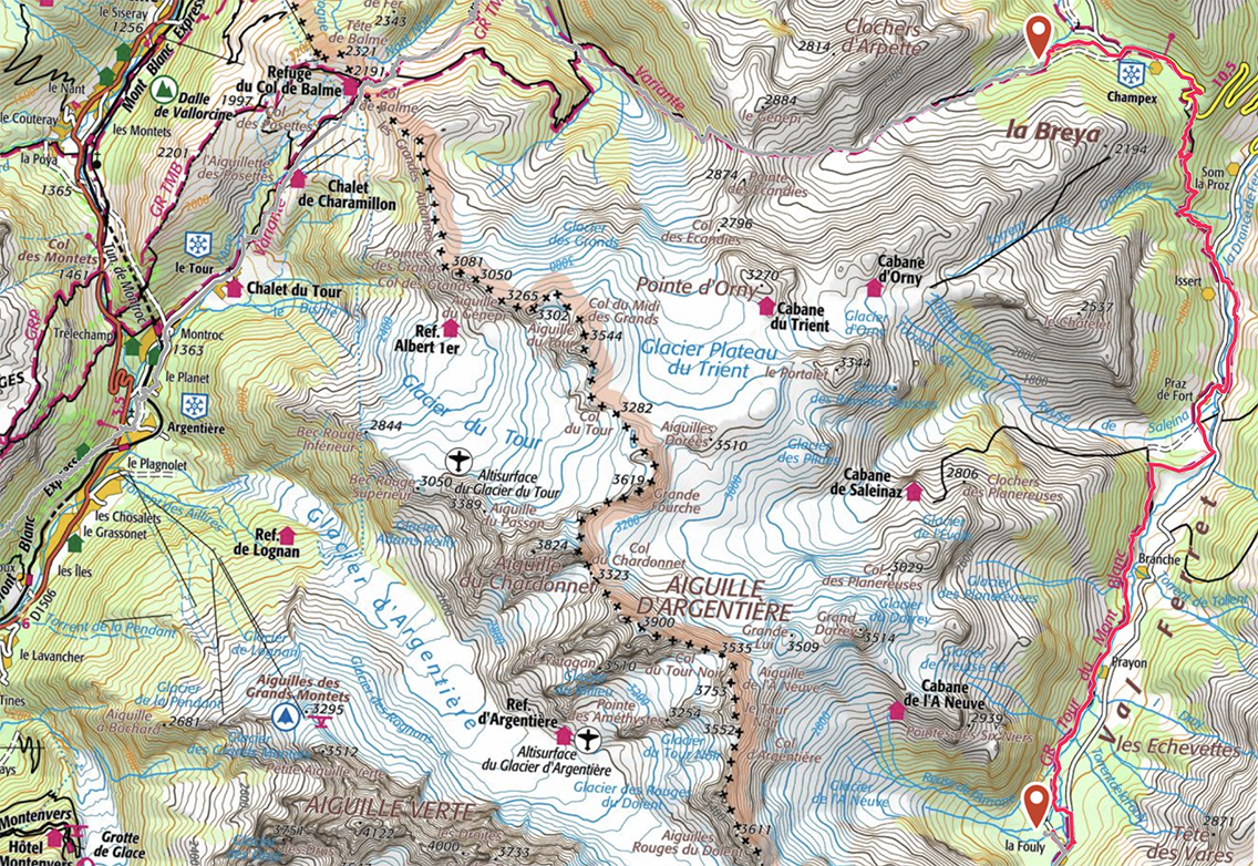
TMB Day 6, map by France IGN Topo / Gaia GPS
The Swiss Val Ferret
This morning I felt a bit lazy. Although I was awake earlier, I dozed on and did not get out of my tent before 8 a.m. After another shower in the excellent bathing house of Camping Des Glaciers, I made myself a freeze dried muesli breakfast. But I was getting bored by the taste of it and finished only half of it. I decided to throw it away together with 2 freeze dried diners, that I knew would not eat anymore. The abundance of good food along the TMB had made me choosy. Throwing food away is a waste of money, but I saw no sense in carrying it back home.
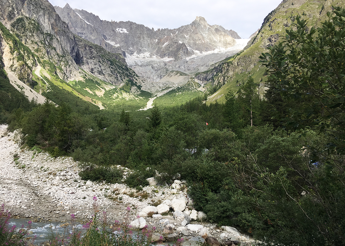
View of the l’A Neuve Glacier from the campsite.
I packed my tent and gear very slowly, and I was one of the last hikers to leave this TMB-corner of the camping. Leaving the camping, I crossed the bridge over the Dranse de Ferret and I looked back at the magnificent glacier l’A Neuve for the last time. In the village I bought some yoghurt and fruit, had a second breakfast at one of the tables in front of the store and hit the trail at almost 10 o’ clock. A promising sun was chasing away the clouds in the sky.
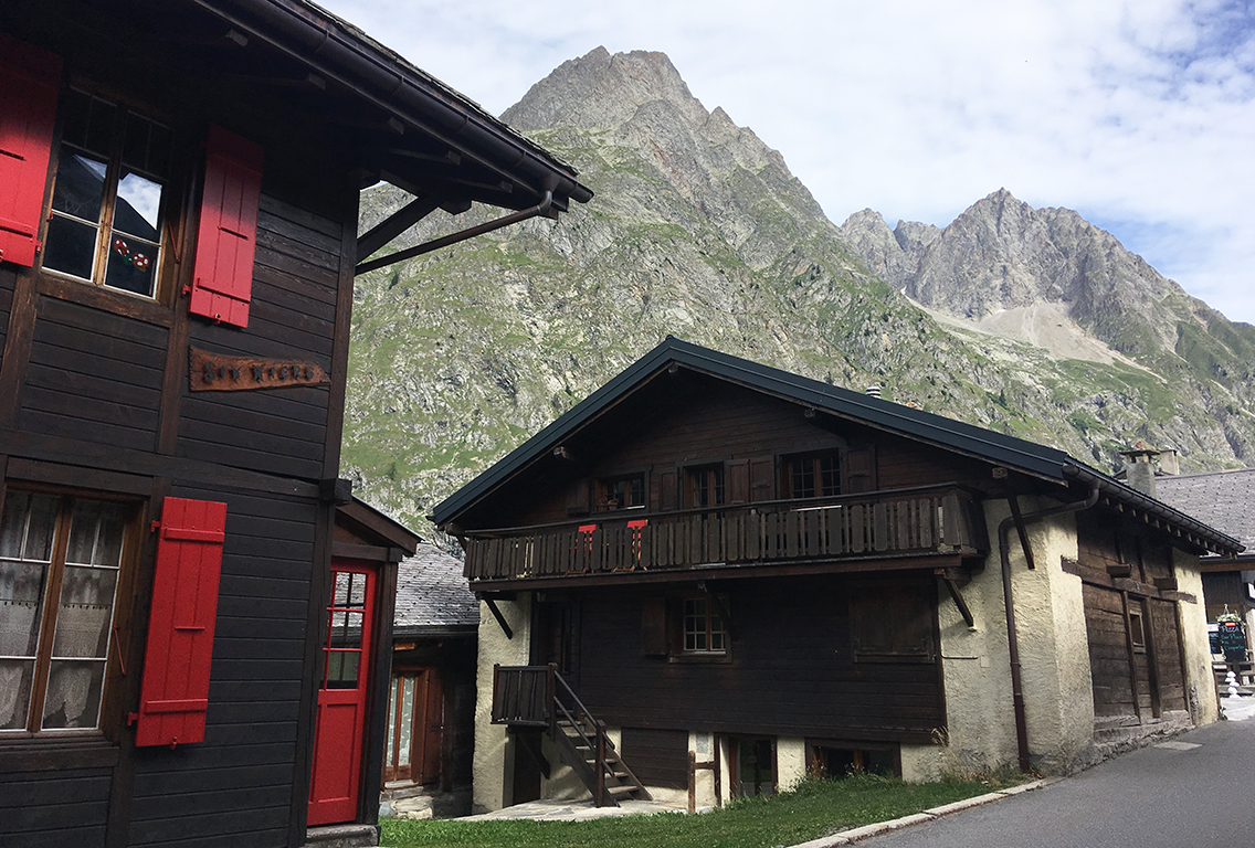
The village of La Fouly
Connecting with the TMB again, the first part of the trail passes the village, with the typical Swiss wooden houses. I passed the the Grand Hotel du Val Ferret, which is a magnificent old fashioned building. The trail left the village on the left, towards the more wooded hillside, until it crosses the river again to the left bank of the water. Looking to my left I discovered that I was only a short distance from the campsite! I had been walking a small circle through the village.
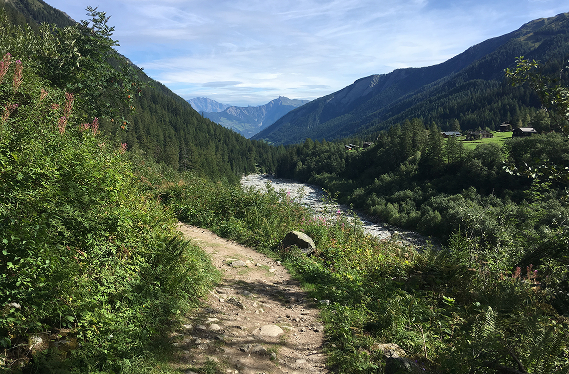
Hiking further I left the tree cover – the valley and the river were lying in front of me. Looking at the very broad field of rocks, the river Drance de Ferret must be huge in spring. Now only a small stream was left. The trail was only ascending very slowly, which made this a pleasant and almost relaxing walk.
The small village of Chanton
I was passing various little villages and houses with neatly mowed grass, so typical of Switzerland. It seems like the entire valley is mowed on a daily basis!
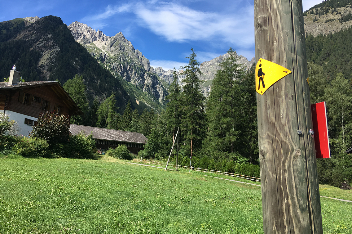
Praz de Fort
The main village along the trail through Val Ferret is Praz de Fort. There is a signposted public toilet in the village, for those who might need it. But more important: there is a nice (and apparently new) café in town for drinks or food. The café is announced with various signs, so you just can’t miss it.
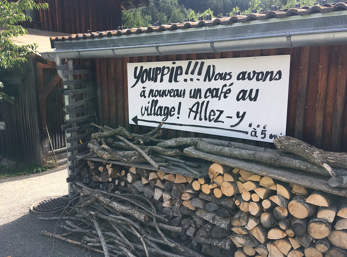
Praz de Fort, sign for Le Portalet café
It was noon, I had only been walking for 2 hours and Ialready seemed to be halfway of today’s trip. Following the trail through the village, I soon came to the Portalet cafe. I found a nice shady spot outside, where I had a vegetarian spaghetti, very simple but so tasty. I took my time, it would only be another 2 hours before I would be in Champex.
There was a Korean hiking woman who had lost her daughter on the trail. And there was a daughter, 5 minutes later, who lost her mother on the trail. Luckily, their reunion didn’t take too long.
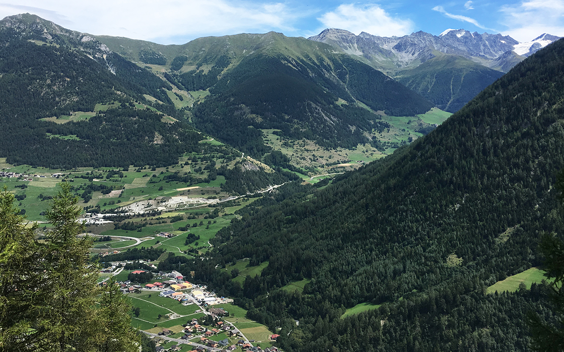
Orsières and Som la Proz
The last part of the trail required some climbing. The sun was high and it was getting hot, so I was very happy when I came halfway up the hill, where I found the nice viewpoint of Orsières and Som la Proz and a water pump! A good spot to rest and cool down.
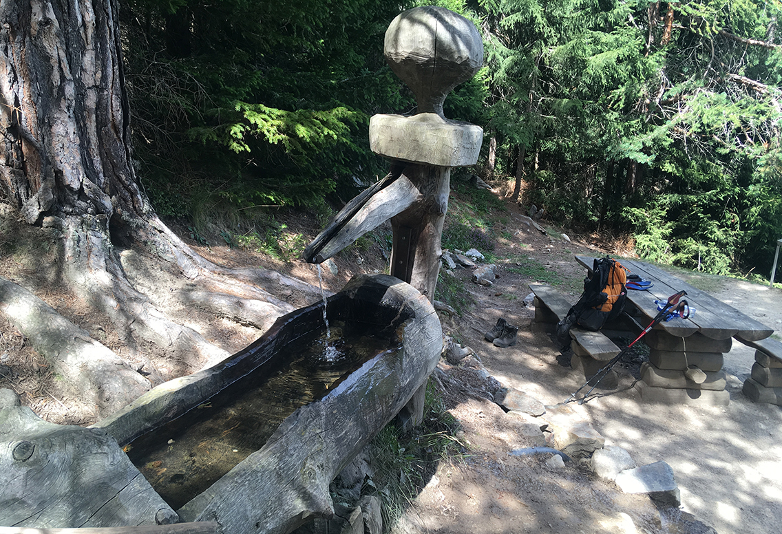
Nice cool water along the trail up to Champex
Just 30 minutes before I reached Champex, I met an American hiker named Doug, from Colorado. He told me we were about to get to a rock with a door in it. I couldn’t really imagine what he meant, but not before long we reached a place where rock climbers were crawling up a steep rock with, indeed, a small steel door in it.
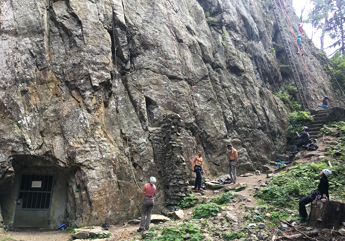
Near Champex: the rock with the door
There were campfires, children playing with bows and arrows and a nice smell of food being cooked, it seemed like some kind of boy scout get-together. The trail continued up, in a shady forest until it joined an asphalt road near houses and a big sign that read Champex-Lac.
Champex-Lac
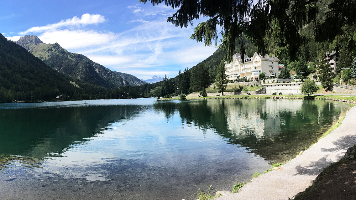
Lac Champex
It was only 3 p.m. when I arrived in the heart of the village: the Lac Champex. A big lake of clear green-blue water, with some hotels on the shore. It was not crowded at all, to my surprise. On the left side of the shore I saw some canoos and there was an occasional boat drifting by. Overall it was very quiet and the water looked very cool and inviting.
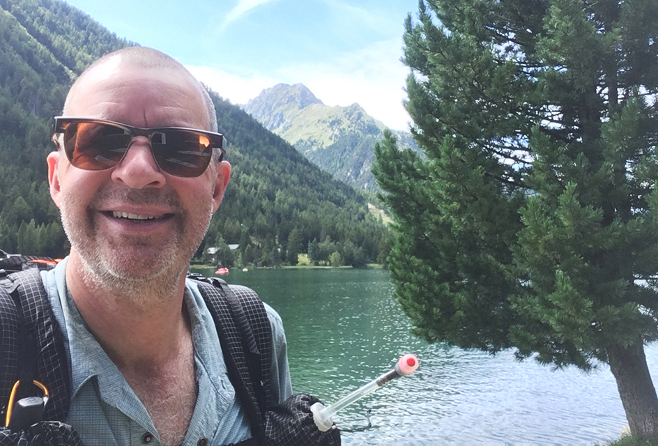
I did no demanding climbs today, but I took a dive in the lake nevertheless
I just stripped down to my underwear on the pavement along the shore and took a quick dive in the lake, although the was no real beach or something. But as said it was very quiet and none of the people walking by seemed to care. The water was ice-cold, so after I got dressed again, I felt refreshed and ready to move on for the last stretch of trail today to the Relais d’Arpette.
Walking further into the village I took the chance to buy a drink and yoghurt in a supermarket, and hiked out of the village again. On the very west side of Champex there was a sign from the Rocailles campsite, that might have been a camping opportunity when I would have been late and tired. But I had enough time and energy to push on to the last half hour to the refuge. This would turn out to be a very good choice, Relais d’Arpette is a very nice hut with excellent camping facilities and a lot of space for tents.
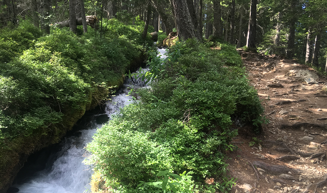
Bisse du Petit Ruisseau
Following the road to the left, I abandoned the official TMB, following the Fenêtre d’Arpette-variant. I planned to hike this variant tomorrow: a steep and demanding climb over a 2.665 m (8.743 ft) high col, together with the Col des Fours the highest point of the TMB.
Leaving the asphalt road, the trail followed the Bisse du Petit Ruisseau (a Bisse is a historic irrigation channel), with roaring water coming down. I happened to lose the official trail eventually, as there were many differtent paths crossing each other. But I just followed the stream as much as I could and before I knew, I suddenly ended up at the refuge.
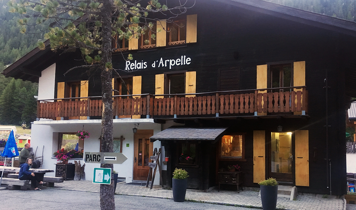
Refuge and camping Relais d’Arpette
Relais d’Arpette
It was not even 4 p.m. when I was welcomed at the small reception of Relais d’Arpette. There was plenty of room for tents and I could also join the evening meal for an extra charge of € 20. There was a two-choice menu: something with meat, or a Swiss cheese fondue!
The campsite was a very big field with acces to the very clean and good showers on the ground floor of the main building. When I set up my tent I met my friendly campsite neighbors from La Fouly again, Mikhel and Liisa from Estonia. I spent the rest of the afternoon washing my clothes and reading my book with an apple juice drink on the shady terrace.
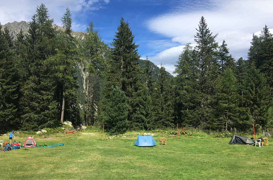
My light blue tent in the shared grassy field of Relais d’Arpette
In the evening I joined the dinner in the Refuge with mostly guests from the refuge. I think I was the only one from the campsite. I had a lovely soup and cheese fondue with a Canadian hiker named Chris, and a couple of American Sicilians who descended the Fenêtre d’Arpette that afternoon. According to their story this col would be very hard and steep.
I went to bed early, at 8:30 p.m. read a bit in my book and I prepared to wake up early to have an early start for the steep mountain pass ahead of me. I never set an actual alarm clock on my hikes. When I decide to wake at 5 a.m., for some reason I really do wake up just before that hour.
> Next, day 7: Arpette – Le Peuty
< Previous, day 5: Tronchey – La Fouly
0 Comments
Trackbacks/Pingbacks