After two days of steady climbing, the third day of my SEKI Loop led me from the Bighorn Plateau to the lower elevations of Kern Canyon. As temperatures were rising in the canyon, the lure of the refreshing springs at the end kept me going during the 17.5 miles of trail.
Day 3: Tyndall Creek crossing to Kern Hot Spring
Start: Tyndall Creek campground (Wenck JMT guidebook nr. 12.06)
End: Kern Hot Spring
Distance: 17.5 miles (28,2 km)
Elevation gain: 496 ft (151 m)
Elevation loss: –4,519 ft (–1.377 m)
Highest point: Bighorn Plateau, 11,427 ft (3.482 m)
Time: 6:45 hrs moving time; 9:30 hrs total time
Date: September 1, 2018
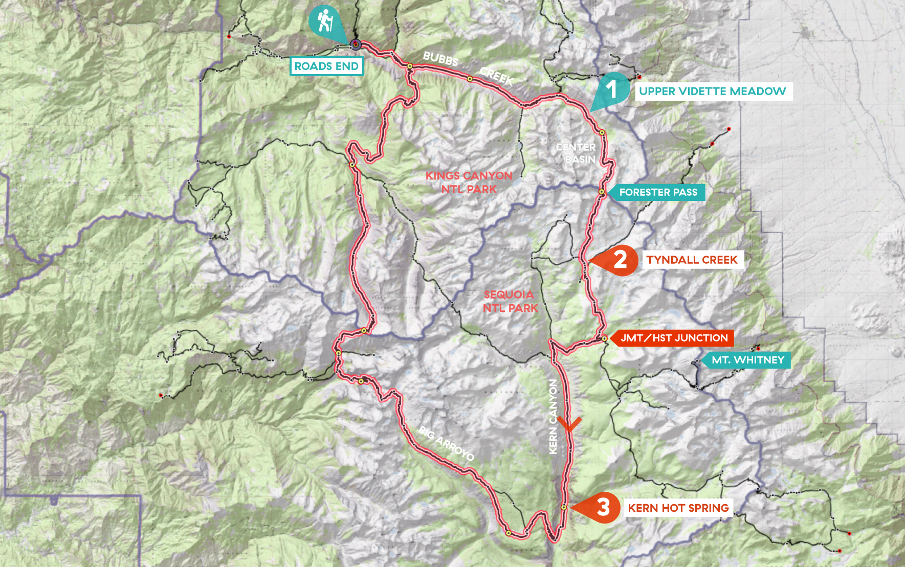
Day 3 of my SEKI loop, map base layer by Sierramapper.
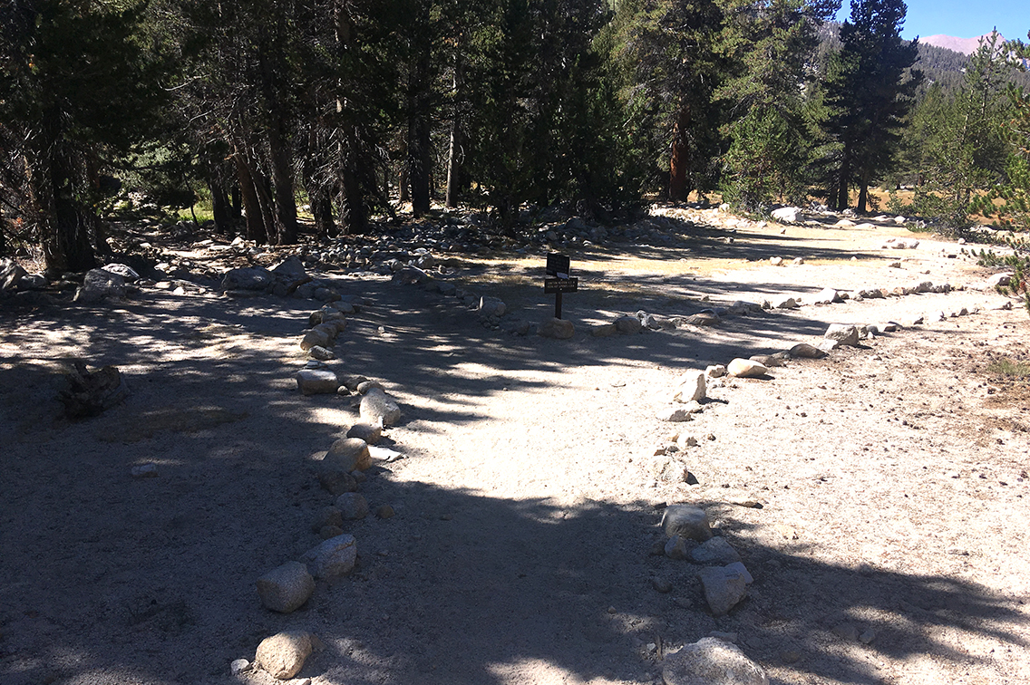
Tyndall Creek campground
Tyndall Creek campground is located at a perfect spot for hikers either going up or coming down from Forester Pass. Most of the hikers I met in camp were Northbound hikers, facing the climb to Forester Pass next day. They asked me all about the pass, that some seemed to fear more than Mount Whitney (which they had climbed one or two days before). I couldn’t really ease their minds, because for me Forester really was a tough piece of trail.
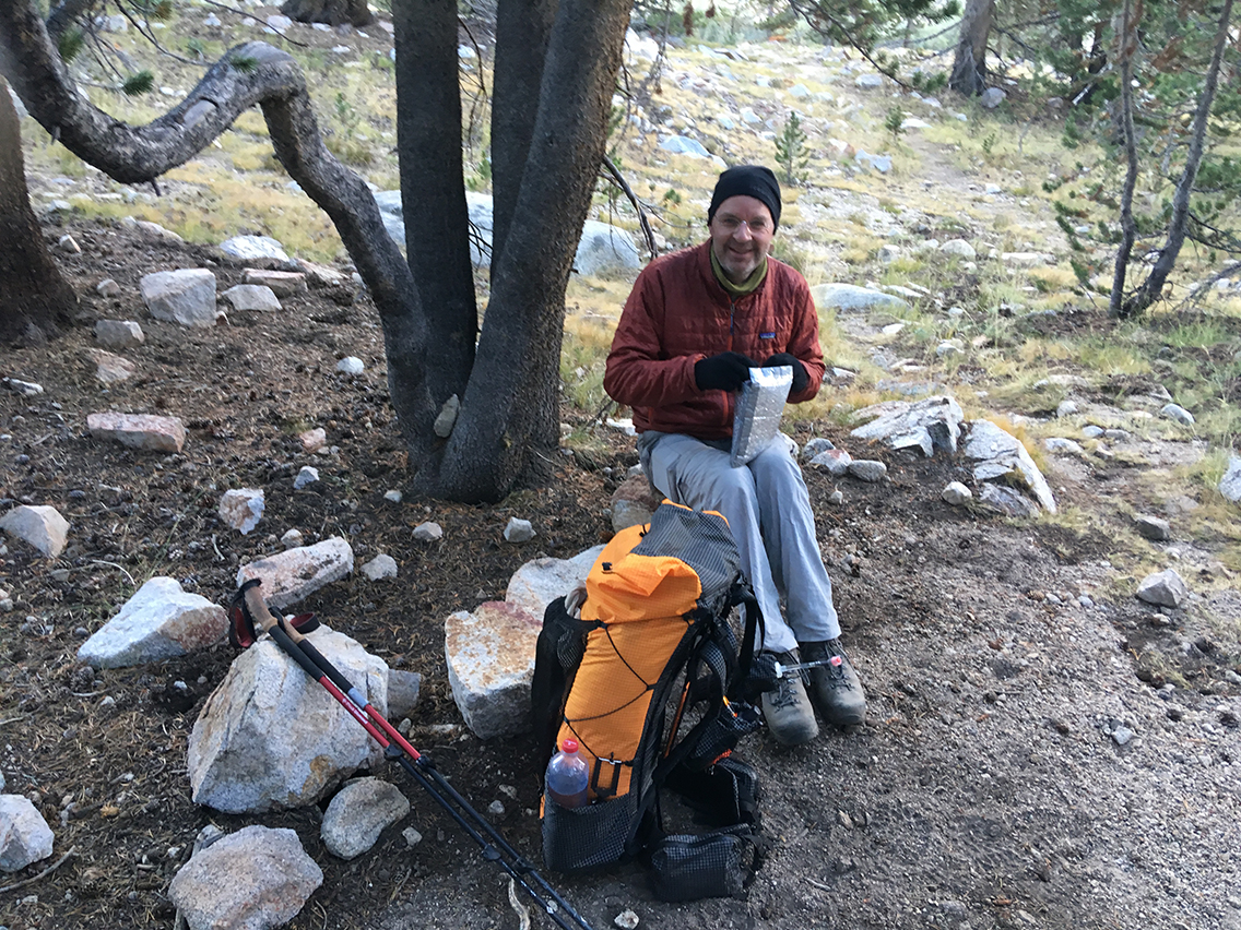
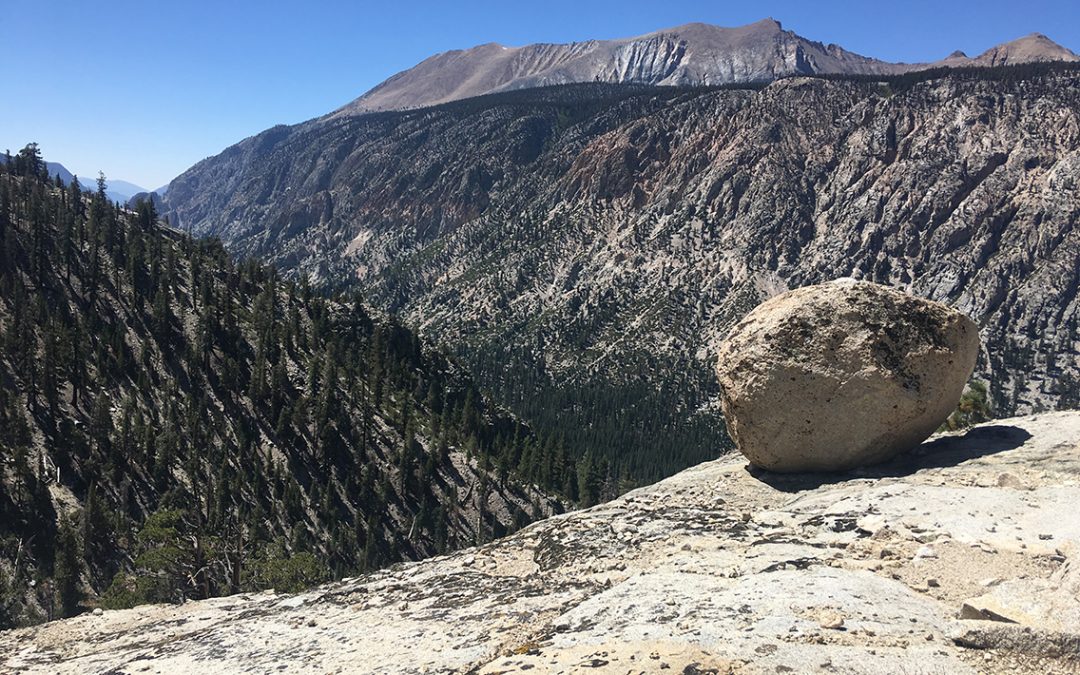
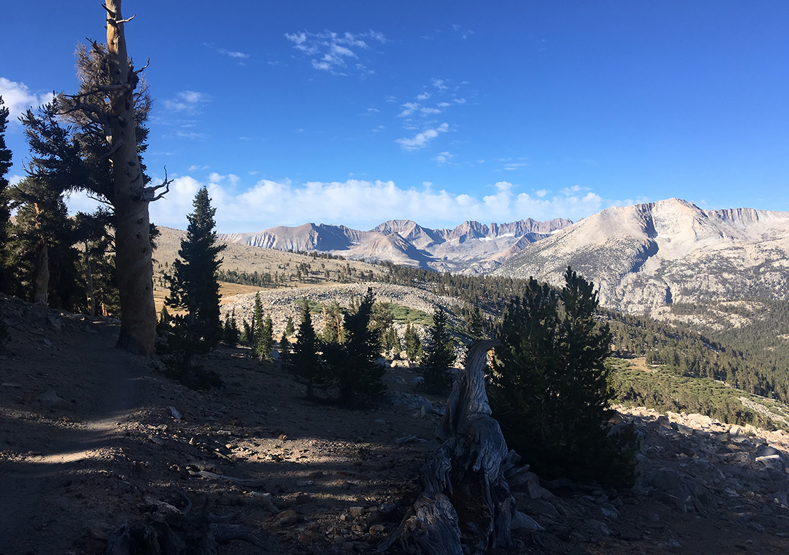
Finishing my breakfast with granola and tea, I hit the trail by 7:30 am. The trail was still cool and shady. I passed the Tyndall Frog Ponds where I met some hikers from the day before at the steep switchbacks of Forester Pass. It seemd so long ago already! I saw an inviting big granite slab by the creek, so I took a short break with a Twix bar and water.
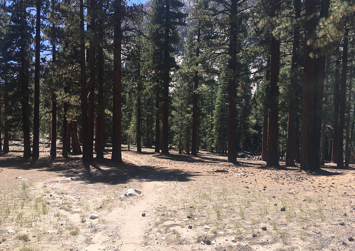
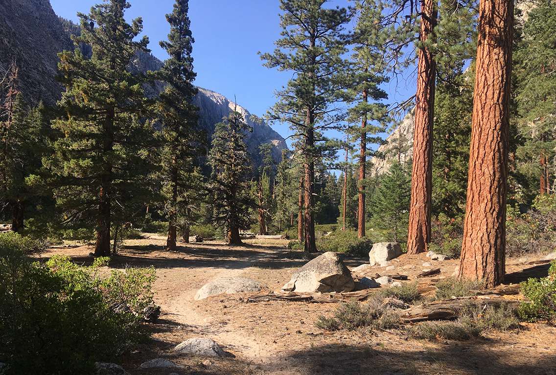
Back on the trail the the trees began thinning out, and white and grey granite transformed into a yellow-brown grassy plateau. I had great views of the Kaweah mountain range ahead.
Approaching Bighorn Plateau with view of the Kaweah mountain range.
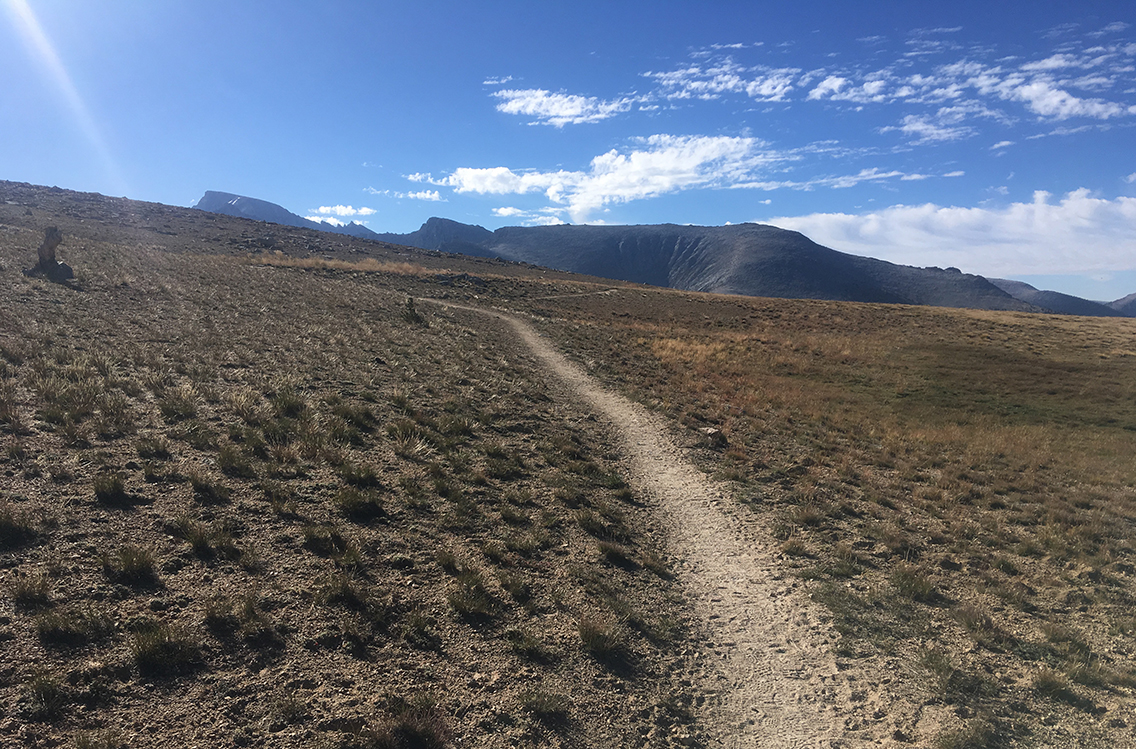
The first 2 miles of today’s trail were going up – not too steep – ascending the Bighorn Plateau. I didn’t really know what to expect from the plateau, I hadn’t considered it as a highlight on the John Muir Trail. How wrong I was!
Bighorn Plateau
Once I reached the plateau, it was beautiful. Silence all around, not a tree to bee seen. Mountain ranges all around. West of the trail a big blue lake, where some hikers were packing up their tents. What a place to camp!
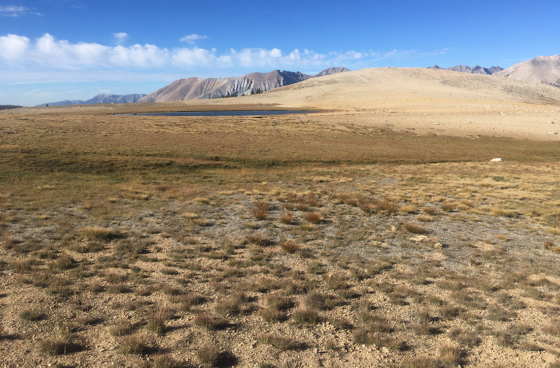
Yellow-bellied marmots were whistling and running around, the color of their fur blending with the dry patches of grass. The trail was almost flat for a while, a sandy path in barren and empty surroundings.
First view of Mt Whitney
In the distance I had the first views of Mount Whitney. The mountain doesn’t look very spectacular nor very high from this side. I had to check my map to make sure I was really looking at the highest mountain in the ‘lower 48’.
I had made the hard decision to skip Mt. Whitney long before in favor of going West to Moraine Lake. So it was a good thing now to at least be able to see the mountain.
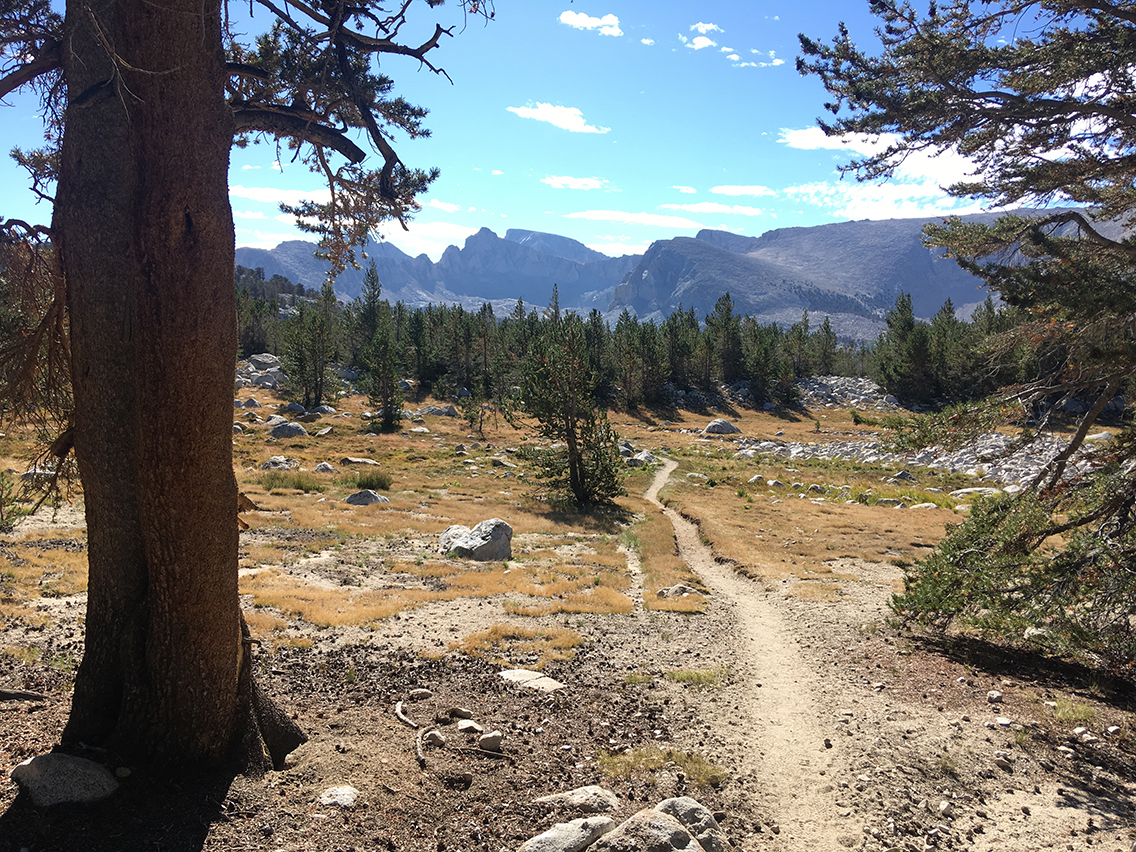
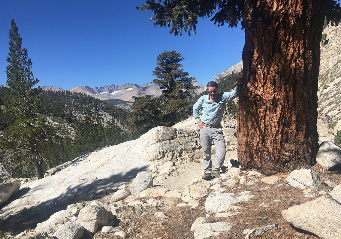
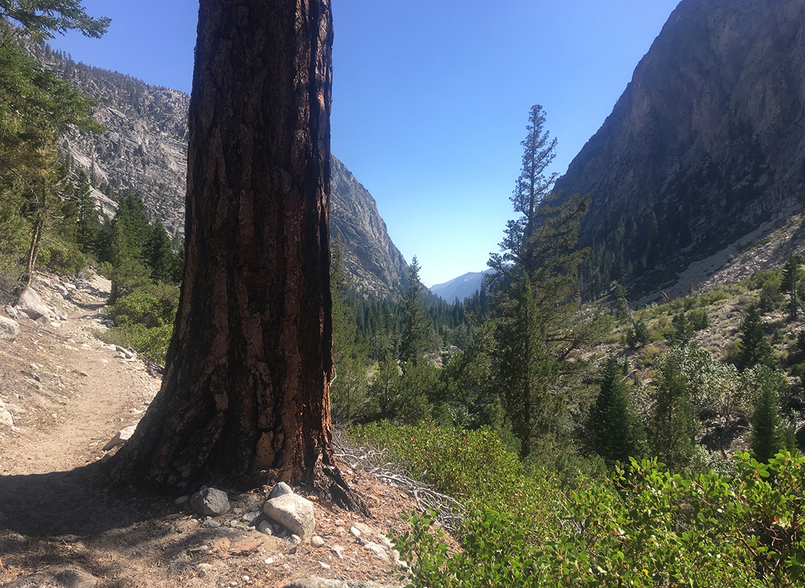
I had reached the highest point of Bighorn Plateau and my long walk down had finally begun. The Whitney mountain range kept me company for quite a stretch of trail. The trail reached wooded area again, offering some shade from the sun that was already beginning to burn my skin.
John Muir and High Sierra Trail Junction
Reaching the John Muir and High Sierra Trail Junction, I was almost tempted to go for a detour to Mount Whitney. It was less than 12 miles away, it seemed so close. But, not fooling myself with this mileage, I choose the trail on the right. I still had some pretty big days ahead of me.
But within minutes I met another hiker. Quite an old man, moving with a steady pace. He said he was doing the HST in the traditional direction, from the Giant Sequoia Forest to Mt. Whitney. He came from Junction Meadow, the first possible camp site for me.
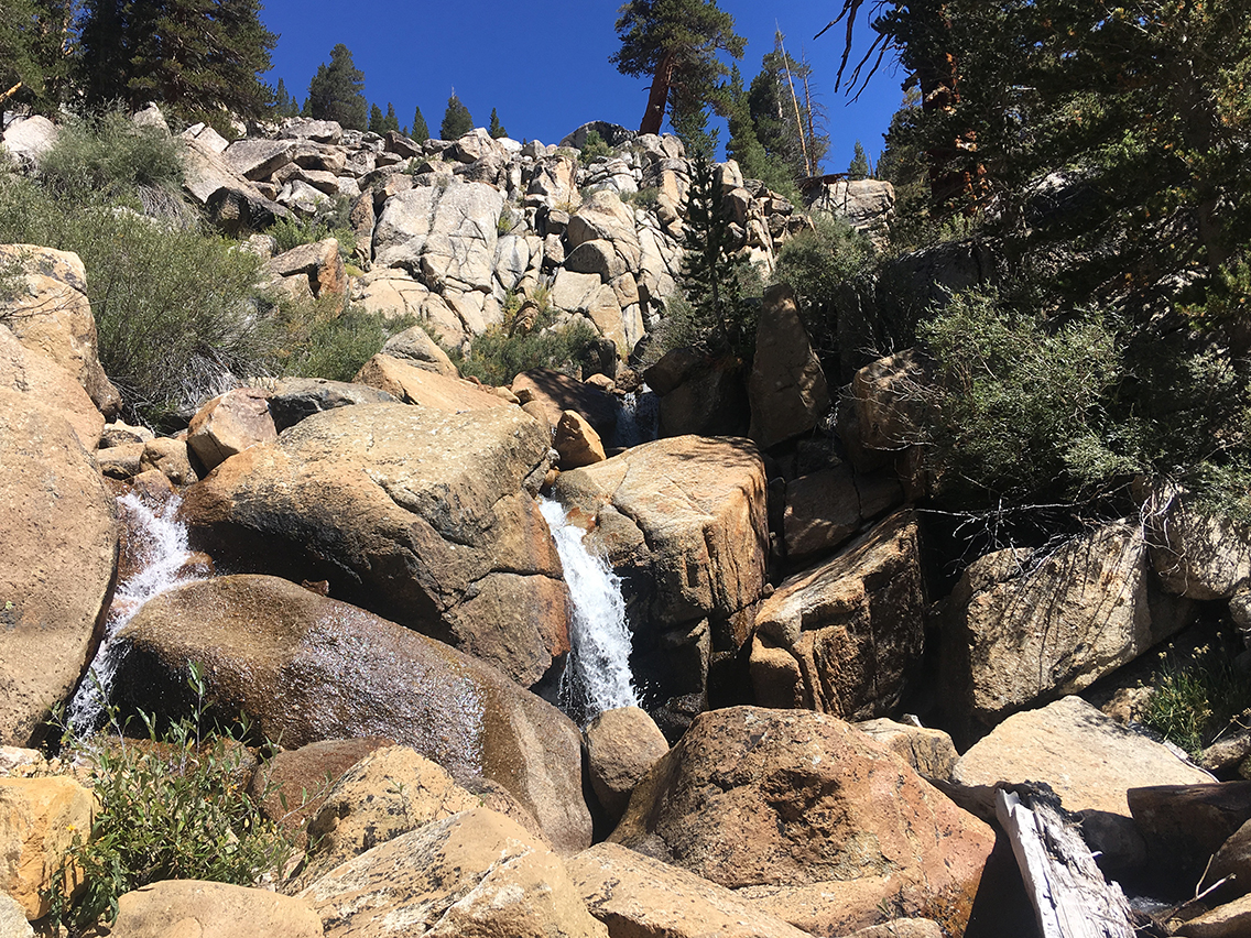
Further on, at Wright Creek and falls, there was a bigger group of hikers, who could tell me all about the trail between Moraine Lake and Hamilton Lakes. That stretch of trail was doable in one day, but it had been a really big day for them, one of the hikers told me.
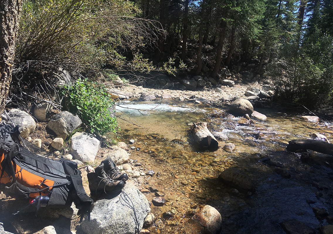
I took a break at the creek, cooling off my feet in the water – one of my favorite things to do on the trail. After soaking my feet until almost freezing cold, they stay cool in my heavy boots for at least half an hour once I get walking again. That has always energized me so much, a real boost that keeps me walking on.
Wet boots in Kern Canyon
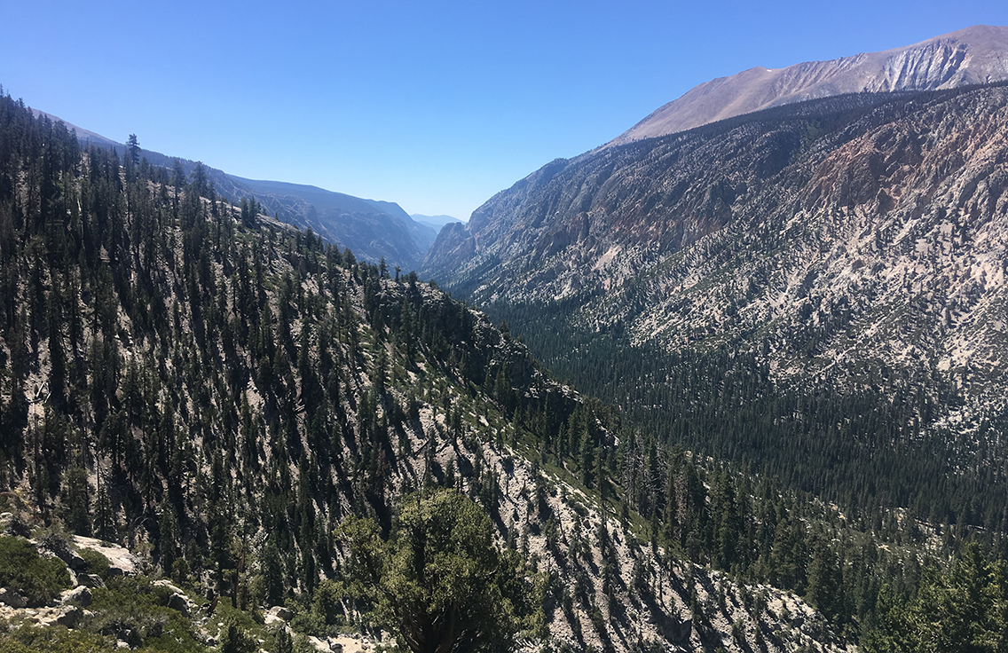
There were some camp sites at Junction Meadow (where I originally planned to camp), but it was way too early to stop at 12 am, and the canyon was getting hot. I was determined to do the entire Kern Canyon section of the High Sierra Trail in one day, all the way to the Hot springs.
I met a couple hiking Northbound at one of the small creek crossings who told me they saw a bear foot print on the trail, just ahead of me. So, just like on the first day, I spent some time hiking and singing, hoping not to surprise the bear.
Just before getting my boots drowned in Whitney Creek
This day I learned an important lesson: never underestimate any creek crossing. Just never. Most creeks were dry by now (september first), and any creek still flowing was quite shallow. I only had to take off my boots once the entire trail. And that was here at Whitney Creek. I put on my water shoes and held my boots in my hand to cross the creek. But I took one wrong step, landed my foot on the bottom of the creek two feet down, almost got my foot stuck between the rocks and sank to my waist in the water, drowning my boots completely.
This left me no other choice than to take some time to let my boots and feet dry in the sun. Luckily it was time for a lunch break anyway.
Kern Hot Springs
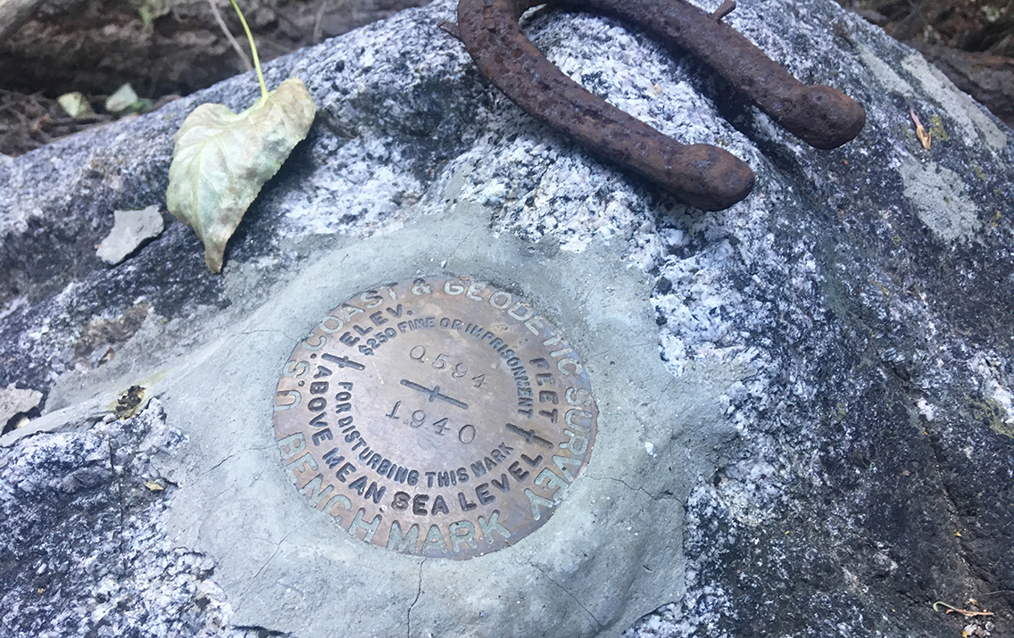
After my boots and insoles had dried just enough, I hiked further down the canyon and I found this US Coast & Geodetic Survey Benchmark along the trail. Wondering what it meant, I found out later that this is just one of a dozen or so in Kern Canyon alone and one of 240,000 marks in the US. And all of them can be found on an interactive map.
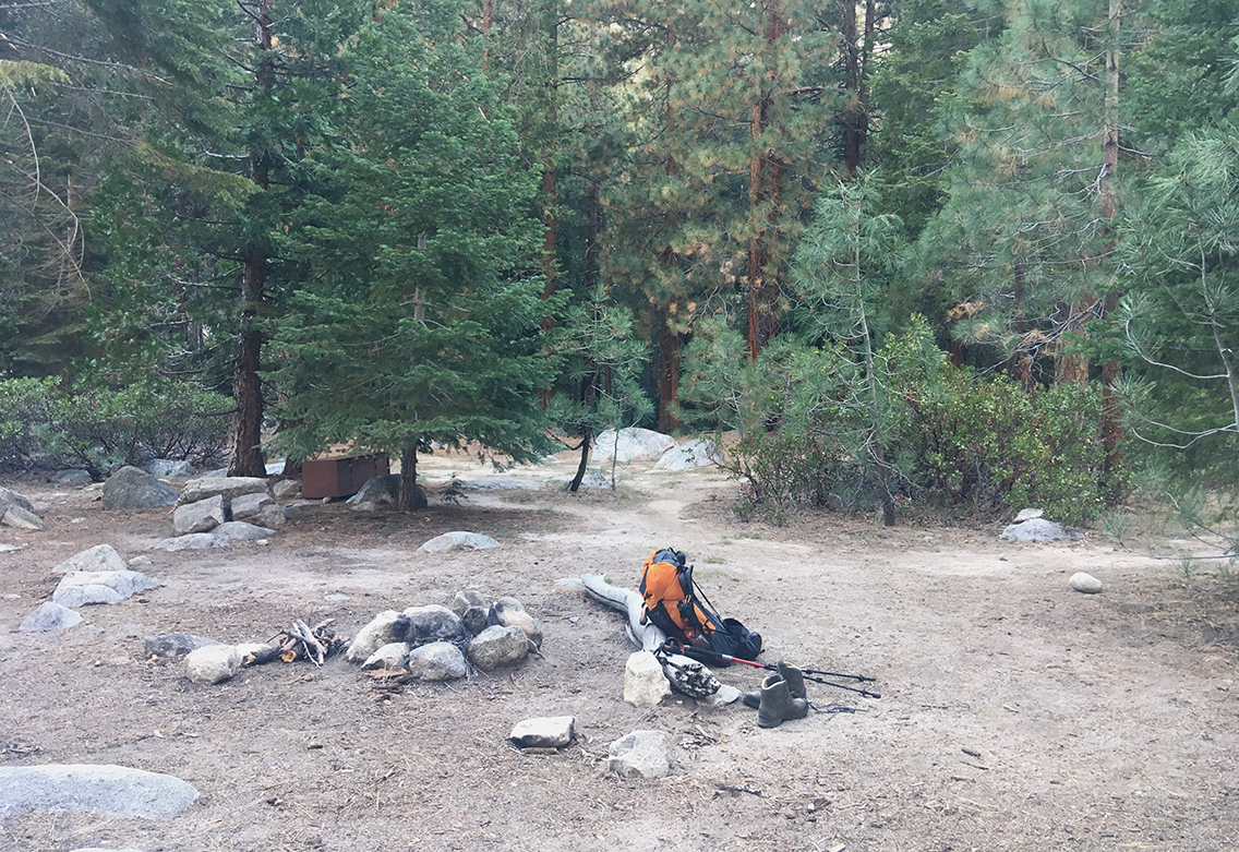
Finally I found the nice and comfortable camp site just a few yards North of the Hot springs. Fire ring, bear box and even an open air pit toilet. Yes, these kind of things are the luxuries on the trail. Not another soul to be seen here, though. The last hikers I met hours ago at the Junction Meadow and they were hiking north. The trailrunner guy would be way past the Kern Canyon by now. It seemed this would be my first night completely alone.
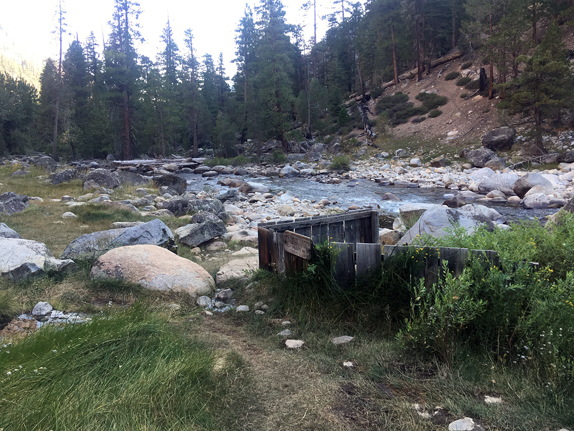
Just a minute down the trail was the hot springs, just next to the Kern River. Behind a low wooden fence was a small concrete tub with a stream of perfectly hot water pouring in. I just put in a wooden plug at the bottom and let the tub fill up. Such a delight after this long hot third day on the trail. I don’t think I ever had a bath so refreshing in my life.
The longest day on the trail so far in distance: 17.5 miles (28,2 km); but not in hours. This was actually the easiest day so far, mostly hiking down. The canyon was comfortably warm during the night and I had a very long and good night’s rest.
< Previous: Day 2 – Forester Pass and Beyond
> Next: Day 4 – A Climb to Moraine Lake
Greetings, Overseashiker! I used one of your photos a few years ago to help to illustrate our article on Sequoia and Kings Canyon National Parks Backcountry Trail Crews. Today, I’m looking for photos of the John Muir Trail and came across your good ones. May we have your permission to use one or two? What a trip that SEKI Loop was for you, back in 2018! Hope you’re still feeling well and doing well. Happy Trails to You! — Laurie S./Tulare County Treasures
Hello Laurie, excuse me for replying so late. You have my full permission to use the photos. Could you please put a credit with it: overseashiker.com?
You can also reach me at contact@overseashiker.com
Best regards, Pieter