The Kesch-Bergell Trek is not one continuously marked trail, it is not even one trail! This year I built a 12 day route from various longer and shorter trails in the canton Graubunden, Switzerland. The core of my plan was the Kesch Trek, a 4-day hike to and from the famous Kesch Hütte.
Planning the Kesch-Bergell Trek
The Kesch Trek officially starts at the Flüela Pass. To reach the trailhead on foot, I added one and a half day of hiking from Davos. The Kesch Trek trail terminates in the village of Bergün, which gave me the opportunity to hike on to another well known hut, the Ela Hütte, and explore the Ela National Park. From there I prolonged the trail quite a bit further, all the way to the Bergell valley (also know as Bregaglia in Italian – the local language in the valley) to end in the village of Promontogno.
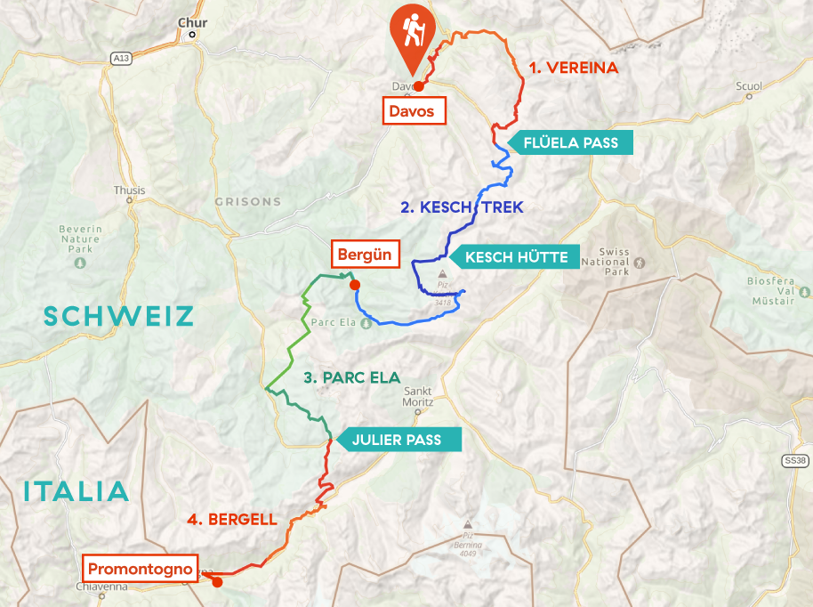
Overview of the 4 sections of the Kesch Bergell Trek
I planned most of the trail online with Outdooractive.com. This helpful tool predicted a total length of around 200 km (125 miles). Because I made a lot of adjustments while hiking, I finally walked 175 km (110 miles) in total, with a 8.600 m (28,200 ft) ascent and 9.300 m (30,500 ft) descent. On a spreadsheet this might seem comparable to the Tour du Mont Blanc, but the rough Engadin terrain proved to be way more challenging.
I used the following guidebooks and maps for background information:
Jolanda Linschooten, Bergtochten In De Zwitserse Alpen, Dominicus Adventures, 2nd edition 2010.
Kev Reynolds, Walks in the Engadine, Cicerone Press, 2nd edition 2005
Swisstopo Wanderkarte 5002, Chur-Arosa-Davos (1:50.000)Swisstopo Wanderkarte 5013, Oberengadin (1:50.000)
Hiking Gear
After the Haute route last year, I finally and for ever dropped the idea of wearing lighter boots or trail runners in the Alps. How happy I have been hiking in my sturdy boots, traversing the sharp rocks, gravel and icy snow with ease! Yes, these boots are heavy (900 grams each) but man, they are lifesavers. This year I bought new boots – the same brand and model but now in the wide toe box variant. This provided me with more space for my toes and made it possible to do the entire hike without any blister.
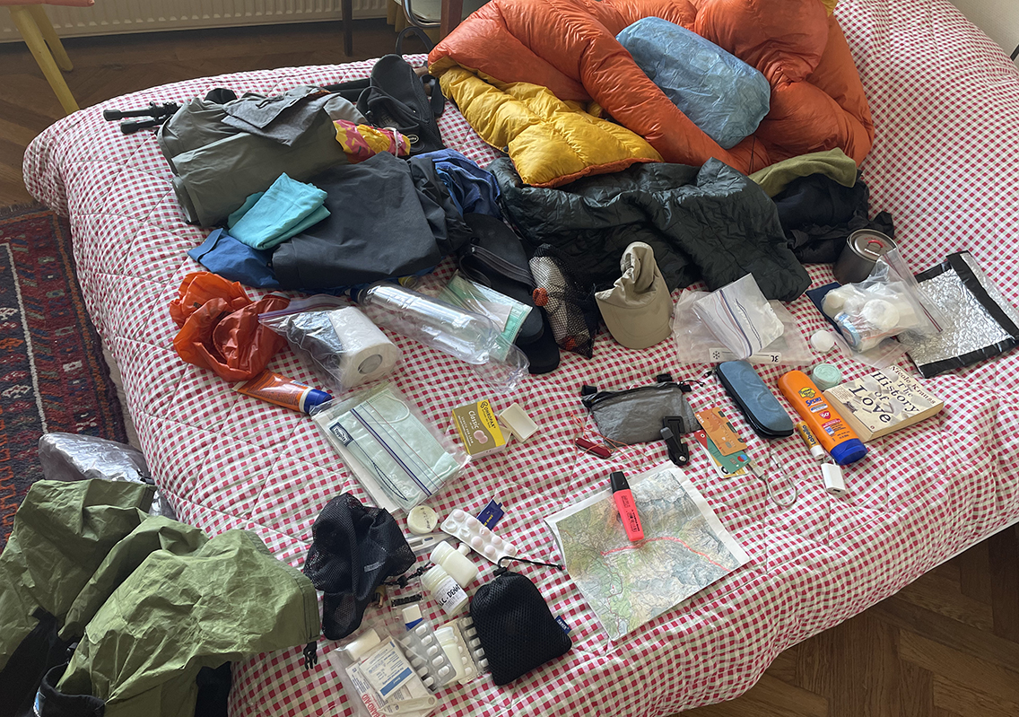
Going through all my gear one by one the day before my flight.
I changed my Zpacks backpack and my sleeping pad for lighter variants, but carried some extra weight because of my new phone/camera and a different pair of water/camp shoes. I ended up with a base weight just below 7 kg (15 pounds). See my complete gear list 20201 for details.
Campings and Huts
The Kesch Trek is a typical hut oriented trail. Although it might have been possible to wild camp in certain area’s, I wanted to experience this first part of my tour in mountain huts. Later this would turn out to be the best decision, because of all the nasty rain in the first week. Most huts will cost about CHF 100 per night, including breakfast and dinner. In general one could say: the higher the hut, the higher the prices.
In the second half of the tour there were some camping possibilities. I had read about a few wild camping spots (but due to the threat of thunderstorm and fatigue I choose otherwise). You can find more details on the huts and camping in my day-by-day reports. All in all I would conclude that a thru hike in Switzerland will always be a combination of huts, hotels, village campgrounds and an occasional wild camp.
Trail Overview Part 1 (day 1–3)
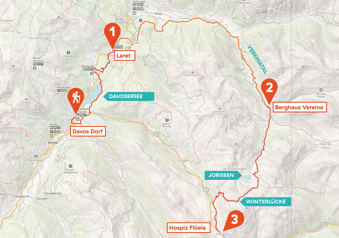
Kesch-Bergell trek day 1 to 3: Davos Dorf to Laret, Berghaus Vereina and Flüela pass
Day 1: Davos Dorf to Laret
Start: Davos Dorf railway station. 1570 m (5,151 ft)
End: Laret, 1.507 m (4,944 ft)
Distance: 8,7 km (5.4 miles)
Elevation gain: 122 m (400 ft)
Elevation Loss: 187 m (614 ft)
Highest point: 1.669 m (5,475 ft)Time: 1:50 hrs
Date: August 15, 2021
Davos
Starting my thru hike in Davos, I took an airplane to Zürich and a 2 hour train ride to get there. This left me half a day to hike to my first destination, a Bed & Breakfast in Davos Laret, a small village just north of Davos Dorf.
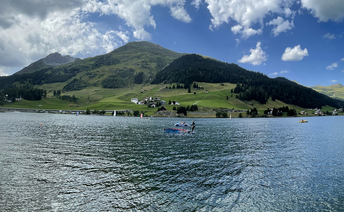
The huge lake Davosersee just north of Davos
From the train station in Davos Dorf I took a short detour to find a shop that would be open on this Sunday afternoon (which is quite rare in Swiss villages). I found a ‘Pronto Coop’, a tiny grocery shop where I bought a simple couscous salad and yoghurt for dinner. Davos did not really appealed to me, the village is stacked with concrete apartment buildings, it’s like the village turns a stoney back to you. I walked back north to where my train had came from, towards a huge turquoise-blue lake, the Davosersee. Now I started to feel like I was in the Swiss Alps again! A sign pointing to the lake in German, English and Chinese betrayed the touristic popularity of the lake. It was not very crowded though and soon I reached the wooded hills beyond the lake where it was all lovely and quiet.
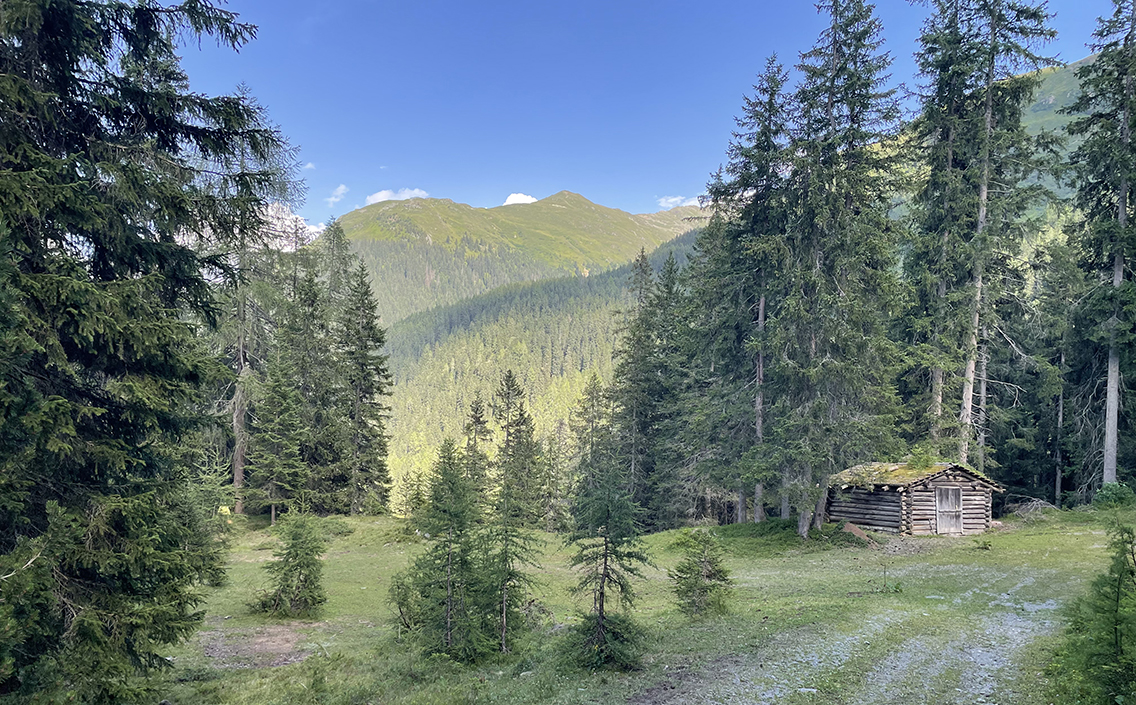
Wooded trail between the villages Wolfgang and Laret
It took some effort to avoid the tarmac road: the red-white signs all tried to make me walk next to it. But with help of my Gaia navigation app, I found the right trail in the woods. It was quiet and I was all alone, except for the woman who wandered around with a wicker basket collecting mushrooms. For a moment I was back in Sweden, where everyone seems to be collecting mushrooms.
Davos Laret
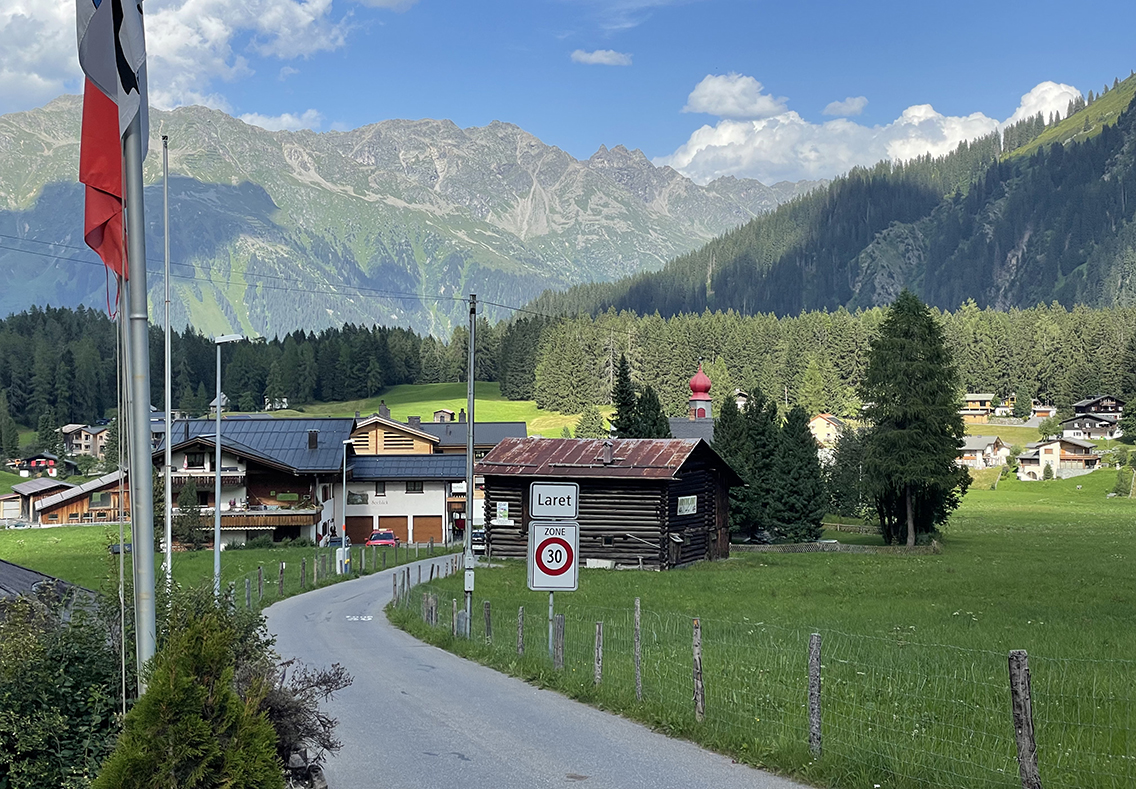
The tiny village of Davos Laret, the end of day 1.
After just under 2 hours of hiking I reached my destination for today: Laret, with its striking red-hatted church tower. Directly on the shore of a small lake, the Schwarzsee, I found Casa Bruna, the Bed & Breakfast that I booked for my first night. The walk had been hot, and I immediately cooled down in the ice cold lake next to the Casa’s terrace.
The tiny room was perfect. The vintage posters on the wood paneled wall made me feel home at once. There was fast wifi so after my couscous dinner at the lake, I sat up in my bed listening to my son Melle and his band playing live on the Dutch national radio! Later when I closed the shutter on the window, I fell asleep before my eyes could adjust to the deep darkness.
Day 2: Laret to Berghaus Vereina
Start: Laret, 1.507 m (4,944 ft)
End: Berghaus Vereina, 1.936 m (6,352 ft)
Distance: 16,7 km (10.4 miles)
Elevation gain: 881 m (2,890 ft)
Elevation Loss: 451 m (1,478 ft)
Highest point: 1.948 m (6,391 ft)Time: 5 hrs moving time, 6:30 hrs total time
Date: August 16, 2021
The weather forecast predicted rainfall in the afternoon, so I got up early. There had already been some Donnerwetter at night, and at 6 in the morning it was still densely clouded. After a shower and an excellent breakfast – bread, yoghurt, orange juice… and Swiss cheese! – I was ready to go at 7.30, the air moist but the sky already half blue.
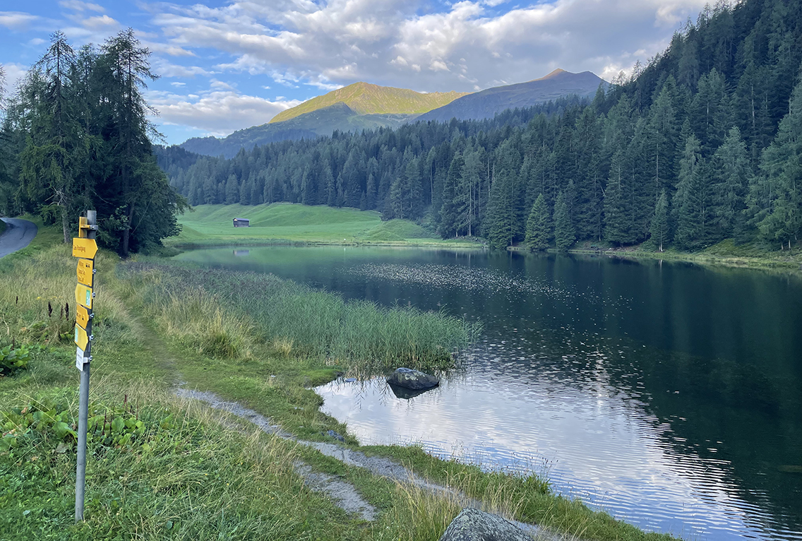
The Schwarzsee in the early morning
As I did not hike on an ‘official’ trail, this morning required a lot of map reading and sign searching to keep away from the main road to Klosters. I followed the signs for Grüenbödeli and Selfranga, in order to reach the Landquart valley via the hills, instead of through the town of Klosters. The scenery became more and more mountainous as I walked on. On the wet trail along the grassy hills I came across at least seven shiny black salamanders, that would cringe to an S when I got close.
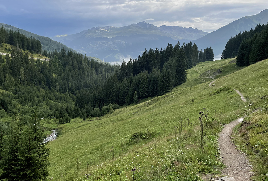
The trail above Grüenbödeli
The Landquart Valley
After one and a half hour I had cornered the mountain range that separated the Landwasser valley from the Landquart valley, where I was heading to. I sat down on a wooden bench for a short break, looking out on the village of Monbiel and the Lanquart river, with a water level that was apparently at least 2 meters lower than in other seasons.
Moving on along the meadows I saw a farmer who a farmer who seemed to be mowing around randomly with a scythe. Upon closer inspection I realized he was purposefully chopping purple flowered thistles.
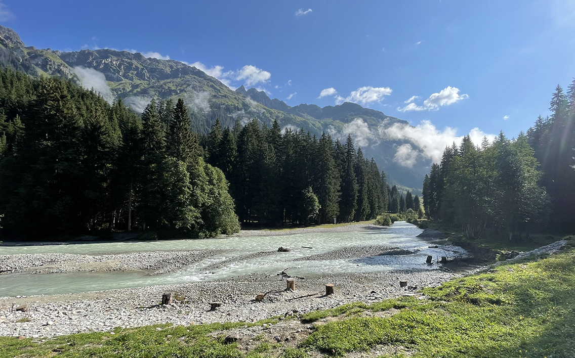
The Landquart river
When the riverbanks were low enough for me to reach the water, I found a nice spot for lunch. Sitting on rocks red from algae I watched the green blue water flow while I ate some left over bread from my breakfast. Several cows were coming down from the forest close by, their bells announced their arrival before I saw them.
Following the thinning river, the trail was crossing the water every now and then with various bridges so that I alternately walked on the left and the right bank.
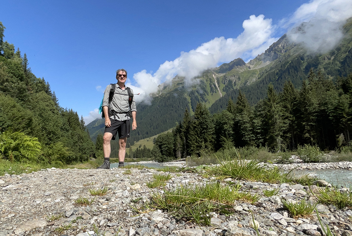
Alp Novai
Slowly the scenery changed. After the relatively flat meadows of Alp Novai the trail turned to higher and steeper terrain, following the smaller stream of the Vereinabach on a forested trail. After a while the trail crossed a zigzagging gravel road, apparently leading to the Vereina Berghaus. This was the only time I saw other people on the trail today.
I reached a higher alp called Stuzalp, where a yellow sign pointed to a lake just off the trail. For a while I hesitated to walk to its shores, because of all the moss and wet clumps of grass. But finally the lake with its tempting waters won me over.
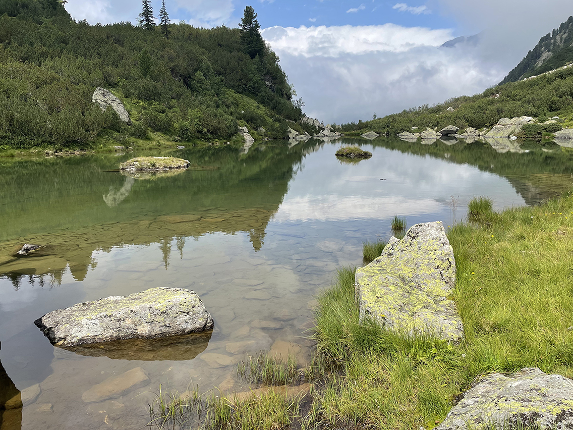
Unnamed lake in Vereinatal, perfect for a swim
It was cloudy and stuffy weather and I was sweltering hot from climbing up. So I threw off my backpack, undressed and jumped into the crystal clear lake. The ice cold water was so welcome – this was the highlight of the day. I resolved to swim in every lake I came across from now on.
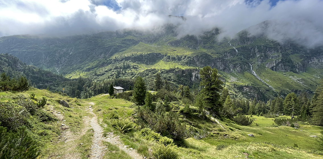
Stutzalp
The Stutzalp offered great views of cloudy rocks and a waterfall, with an old barn in the middle. But soon the sun disappeared and clouds clumped together into a gray and menacing sky. I felt I needed to hurry to make in to the Berghaus dry.
The Vereina Valley
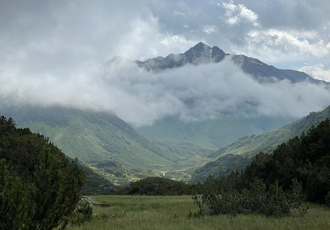
Berghaus Vereina dwarfed by the Rosställispitz (2.926 m) and storm clouds
The view disappeared now. Not only because of the clouds, but also because the path now squeezed between heavy rocks and trees. I could not see where I was heading anymore, until I reached a high point where the mountain house came into view under a darkening sky, perched on a bluff in the distance.
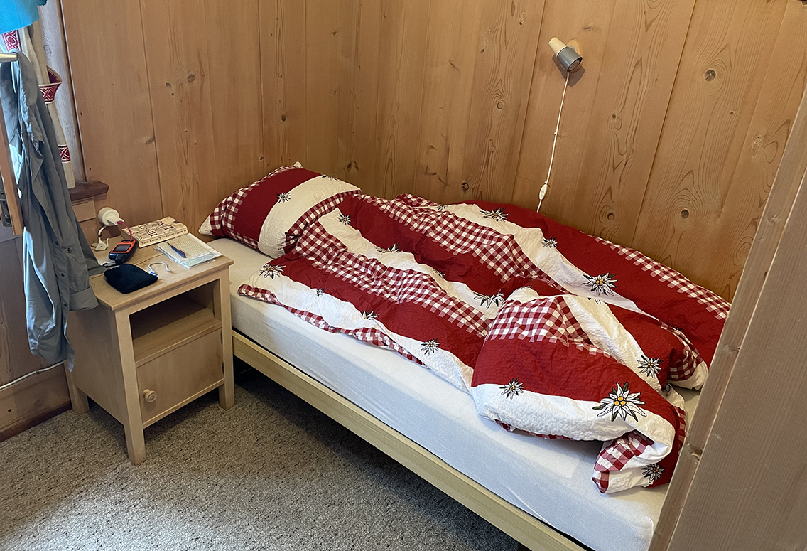
Wood panelled room in Berghaus Vereina
The Berghaus looked like an old English castle in the mist (which was now completely impenetrable) and the moment I opened the heavy wooden door of the hut, rain started to come down in buckets. I had arrived just in time. I was shown my room – a beautiful wood panelled single room with a view of what must be the mountains I was to cross the next day (but now only the spooky mist).
I had an excellent dinner with Swiss Rösti and cheese and a Spezialbier from the village of Monstein in the Landwasser valley, where the highest beer brewery in the alps is located. Unlike in most alpine huts, the guests were not all gathered at one table, which made dinner a bit lonely. But my book, Nicole Krauss’ The History of Love, made up for a lot, as I tore out page by page so that I would be just a little lighter the next day.
Day 3: Berghaus Vereina to Flüelapass
Start: Berghaus Vereina, 1.936 m (6,352 ft)
End: Flüelapass, 2.383 m (7,818 ft)
Distance: 12,4 km ( 10.4 miles)
Elevation gain: 1.052 m (3,451 ft)
Elevation Loss: 607 m (1,991 ft)
Highest point: Winterlücke pass, 2.785 m (9,137 ft)Time: 5 hrs moving time, 6:30 hrs total time
Date: August 17, 2021
Day 3 started in a dense mist, after a fine breakfast with two types of yoghurt, juice, bread and cheese (enough to prepare myself a small take-away lunch). At 7.40 I was ready to go and I walked down from the Berghaus to the trail that would take me to the Winterlücke pass. Within minutes it started to rain.
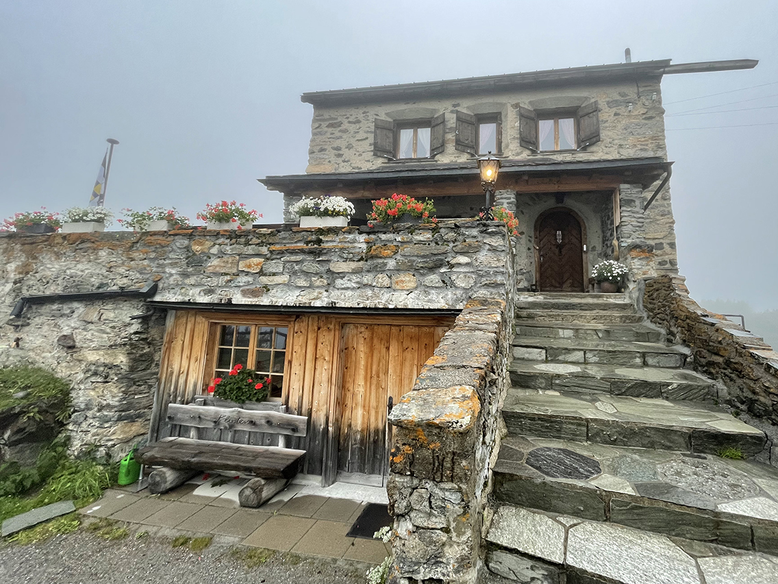
Berghaus Vereina in the early, misty morning
Putting on my rain gear I found visibility to be less than 25 meters. I comforted myself with the thought that I had already seen part of the views yesterday. I reckoned this valley would be wonderful in sunlight, as I passed rivers and waterfalls close to the trail. Every now and then there would be a tiny speck of blue sky, or a glimpse of a mountain top in the distance. I sign of hope – but I wouldn’t see the sun again until on the other side of the pass.
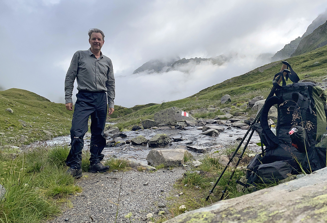
On my way in the Vereinatal
The Joriseen
After a short break next to a river it started to rain and snow again and as I was hiking on, it was impossible to see where I was actually heading. After a while I saw something that looked like a pass, with the familiar yellow signs on top. I knew it was way too early for the real pass; this was the hanging valley where I would find two big lakes, the Jöriseen.
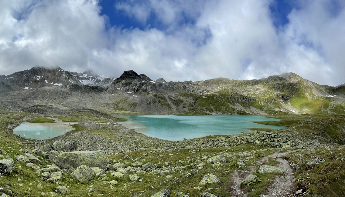
The astounding turquoise Jörisee
This was an incredible moment. As I climbed up the ridge to the yellow signs, a turquoise and green landscape unfolded before my eyes. And just then, clouds opened up to give me an even better view of the lakes.
Yesterday I had made the decision to jump into every lake I passed from now on. But I had to break that promise right away in todays icy cold weather.
As I sat above the lake eating an early lunch, clouds drifted up from the lower valley, hiding the lake under a blanket of mist. Then they disappeared again. They left me in amazement with the eternally repeating system of water, clouds and air in the high mountains, feeding rivers all the way to my home country at the see.
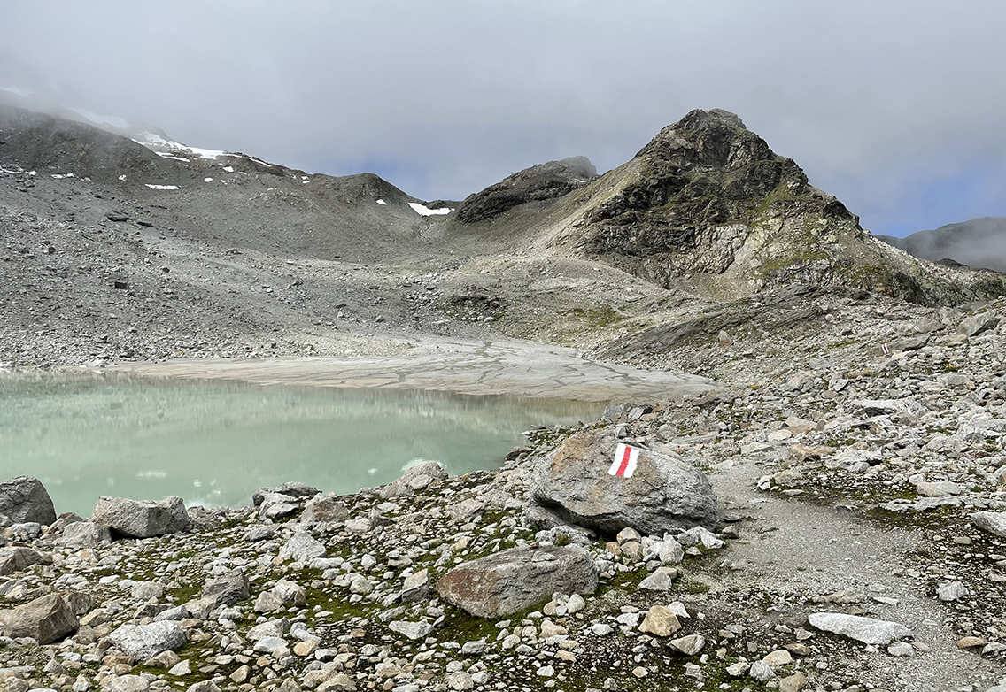
Unnamed glacial tarn, on the way up to Winterlücke Pass
Winterlücke Pass
I hiked on to the second Jörisee a bit higher, and soon turned onto a giant field of scree. The trail was meticulously marked with the red-white painted rocks to lead me to a grey-blue glacial tarn. Not much later I climbed to an even higher plateau with more beautiful tarns.
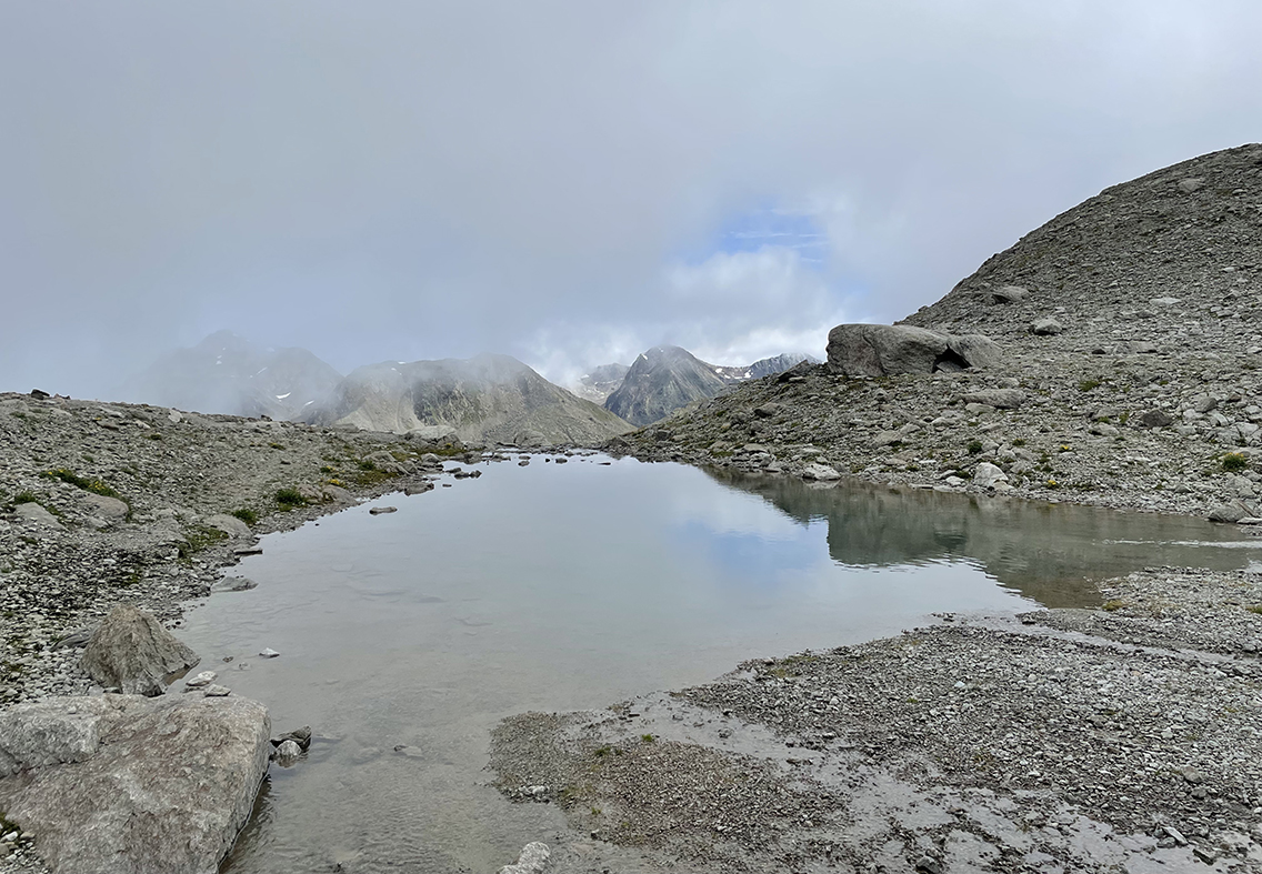
Unnamed tarn just below Winterlücke Pass, looking back in the direction of the Vereina valley.
Slowly more and more other hikers were coming down towards me from the pass, which was quite close now. After a short and misty climb and I reached the Winterlücke Pass (2.785 m/9,137 ft) just before noon.
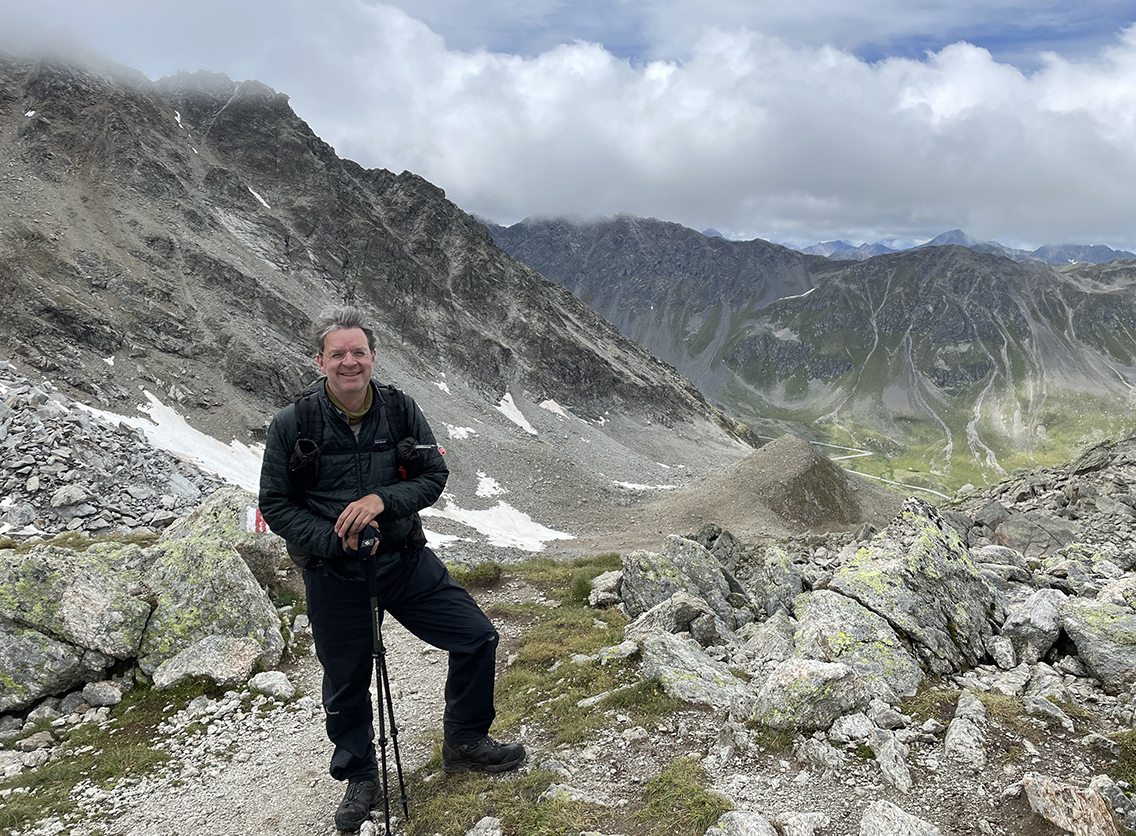
On top of Winterlücke Pass, 2.785 m (9,137 ft)
When I reached the pass I seemed to be all alone, but then there was an almost endless stream of hikers ascending the pass from the other side. Later I understood that they all arrived at the same time, because they came from Wagenhus trailhead down in the valley, where they had arrived with the same bus.
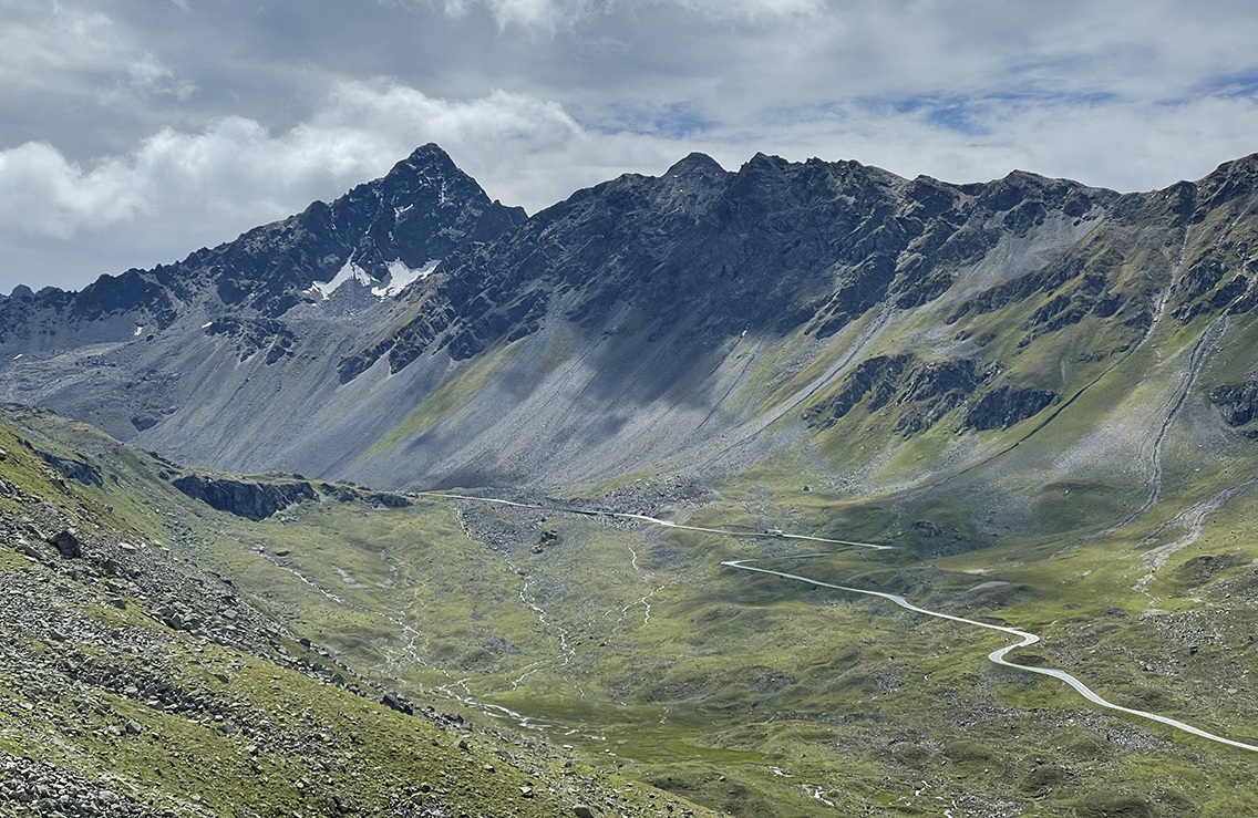
A view of the Flüela Schwarzhorn (3.147 m / 10,322 ft), hiking down to Wagenhus
From the pass, the entire Flüela valley and mountain range came into view. It was clouded, but most mountain tops were visible. Especially the black and perfect top of the Flüela Schwarzhorn stood out. My plan was to climb this 3.145 m. mountain top tomorrow morning. From the point where I was now I could not believe I would ever be able to do so.
The Flüela Pass
Descending steeply from the rough rocks to the grassy valley, I was glad that I had chosen this route to the Flüela pass, instead of the more straightforward route through the Flüela valley. This valley seems very barren, and the trail more or less follows the noisy motorway all the time.
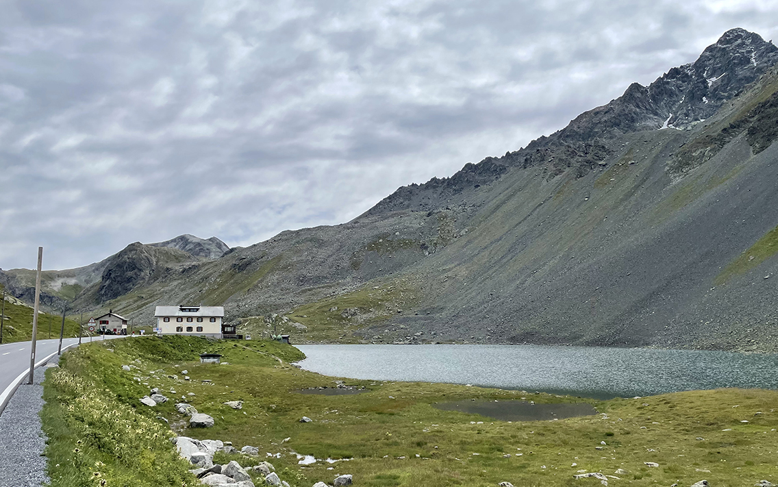
Flüelapass and the lake Lai da la Scotta below the Schwarzhorn
On the valley floor I hiked through a green meadow full of cows with young calves. It’s alway a good idea to avoid coming too close to the mother cows. But cows have a favorite spot to lie down: the trail. So I had to bypass the trail through wet and swampy grass for a while, until I reached the tarmac road. Not before long I could see the pass and the Hospiz in the distance, next to a dark lake and the black walls below the Schwarzhorn.
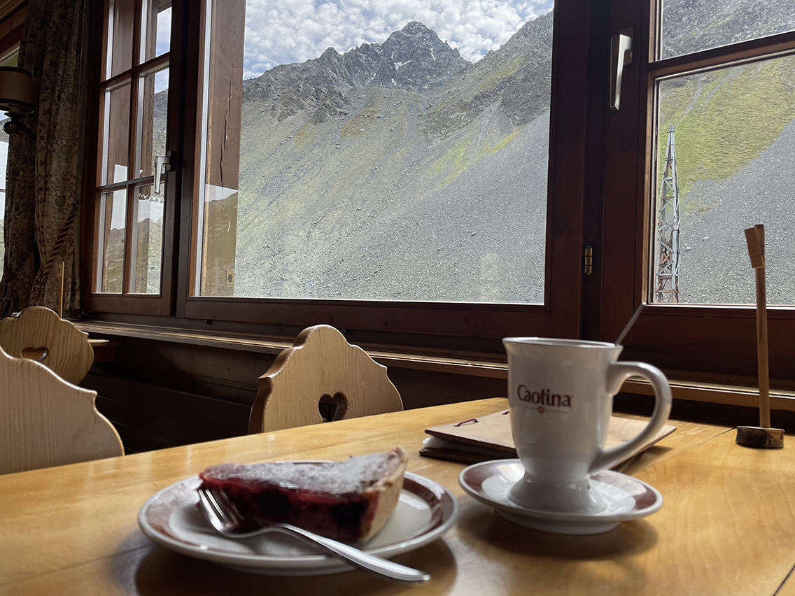
Schwarzhorn from the dining hall in Hospiz Flüela
When I finally reached the Flüelapass and the Hospiz, a sign said they were closed! The building looked dark inside, so my thoughts darkened as well. But after some knocking and calling the landlady opened the door, explaining that only the restaurant was closed for a while. They had a problem in the kitchen and could not serve hot food. So I was shown my nice room with a view on the lake. A package was waiting for me: the gas canister that I had ordered online. Everything had worked out fine!
Thus ended the first part of my thru hike. Tomorrow I would start the second part, the famous Kesch Trek.
Looking back now, the Vereina valley would turn out to be one of the best parts of the Kesch Trek, although it is not even part of it!
If you have any questions about this hike, please leave a comment below!

0 Comments